Last updated: October 16, 2020
Place
Gibbons Pass
Quick Facts
Location:
Montana
MANAGED BY:
Lewis and Clark NHT Visitor Centers and Museums
This map shows a range of features associated with the Lewis and Clark National Historic Trail, which commemorates the 1803-1806 Lewis and Clark Expedition. The trail spans a large portion of the North American continent, from the Ohio River in Pittsburgh, Pennsylvania, to the mouth of the Columbia River in Oregon and Washington. The trail is comprised of the historic route of the Lewis and Clark Expedition, an auto tour route, high potential historic sites (shown in black), visitor centers (shown in orange), and pivotal places (shown in green). These features can be selected on the map to reveal additional information. Also shown is a base map displaying state boundaries, cities, rivers, and highways. The map conveys how a significant area of the North American continent was traversed by the Lewis and Clark Expedition and indicates the many places where visitors can learn about their journey and experience the landscape through which they traveled.
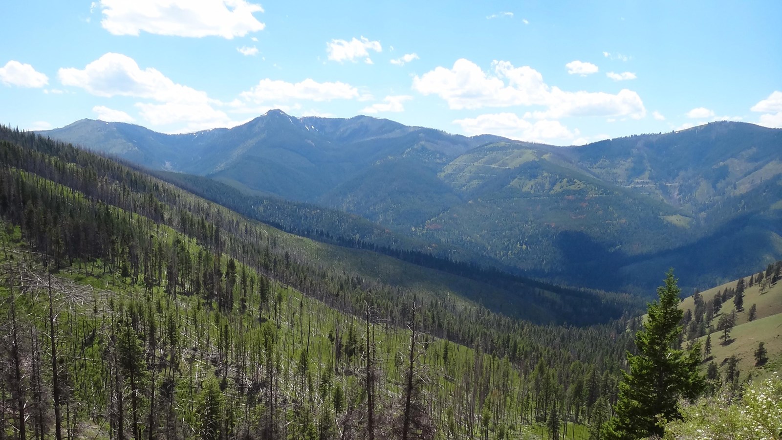
Clark parted company with Lewis at Travellers Rest on July 3, 1806, with the objective to explore the Yellowstone River. His group proceeded south through the Bitterroot River valley, reaching Ross’ Hole on July 6. They then followed an Indian road across the Continental Divide, through what later became known as Gibbons Pass, and descended into the Big Hole valley. Sacagawea proved instrumental in navigating a course across the divide. Clark wrote, “the Indian woman wife to Shabono informed me that she had been in this plain frequently and knew it well that the Creek which we decended was a branch of Wisdom river and when we assended the higher part of the plain we would discover a gap in the mountains in our direction to the Canoes, and when we arived at that gap we would See a high point of a mountain covered with snow in our direction the canoes.”
Gibbons Pass is named for Colonel John Gibbon, who during the 1877 Nez Perce War led US forces against Chief Joseph’s band of Nez Perce in what became known as the Battle of the Big Hole. Forcibly removed from their ancestral lands in the Pacific Northwest and pursued by the US Army, the Nez Perce crossed the same pass over the Continental Divide as the Corps of Discovery, and camped in the Big Hole valley. Gibbon followed the Nez Perce across the pass and attacked their encampment on August 9. The two-day battle inflicted heavy casualties on both sides, but the Nez Perce were ultimately able to effect an orderly withdrawal. Gibbons Pass is located within the Bitterroot National Forest and is publicly accessible from the Sula Ranger Station via Forest Road 106. Interpretive signage is featured along the roadway.