Last updated: March 21, 2021
Place
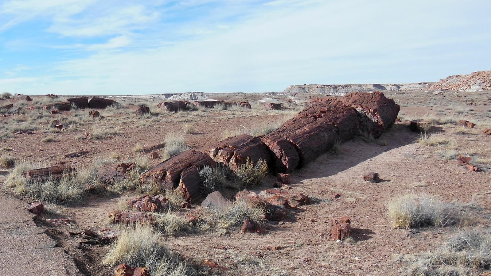
Giant Logs Trail Stop #5

NPS Photo
Quick Facts
Location:
Stop #5 on Giant Logs Trail
Significance:
Stop along Giant Logs Trail Tour
Amenities
1 listed
Scenic View/Photo Spot
Stop 5: Stratigraphy
Check out the striped layers of the mesa north of the trail. At one point each stripe was the earth’s surface—until another layer was deposited on top. Each colored band represents a unique landscape.
Let’s start with the ground under your feet. You are standing on sandstone. Sandstone is a fluvial, or river, deposit. It is a riverbed laid down about 216 million years ago.
Now look out to the mesa and see the next stripe up. It is younger than the rock you stand on. And the next stripe is even younger. The alternating blue-purple bands represent muddy floodplains deposited through time by further river activity. Finally, the mesa is capped by another layer of pale sandstone. This is another river bottom, much younger.
