Last updated: April 29, 2021
Place
Garrison Creek and Highland Rim Section Northern Terminus, Milepost 427.6
NPS
Quick Facts
Location:
Natchez Trace Parkway, Milepost 427.6 near Leipers Fork, TN
Significance:
Trailhead and US Army post 1801-1802
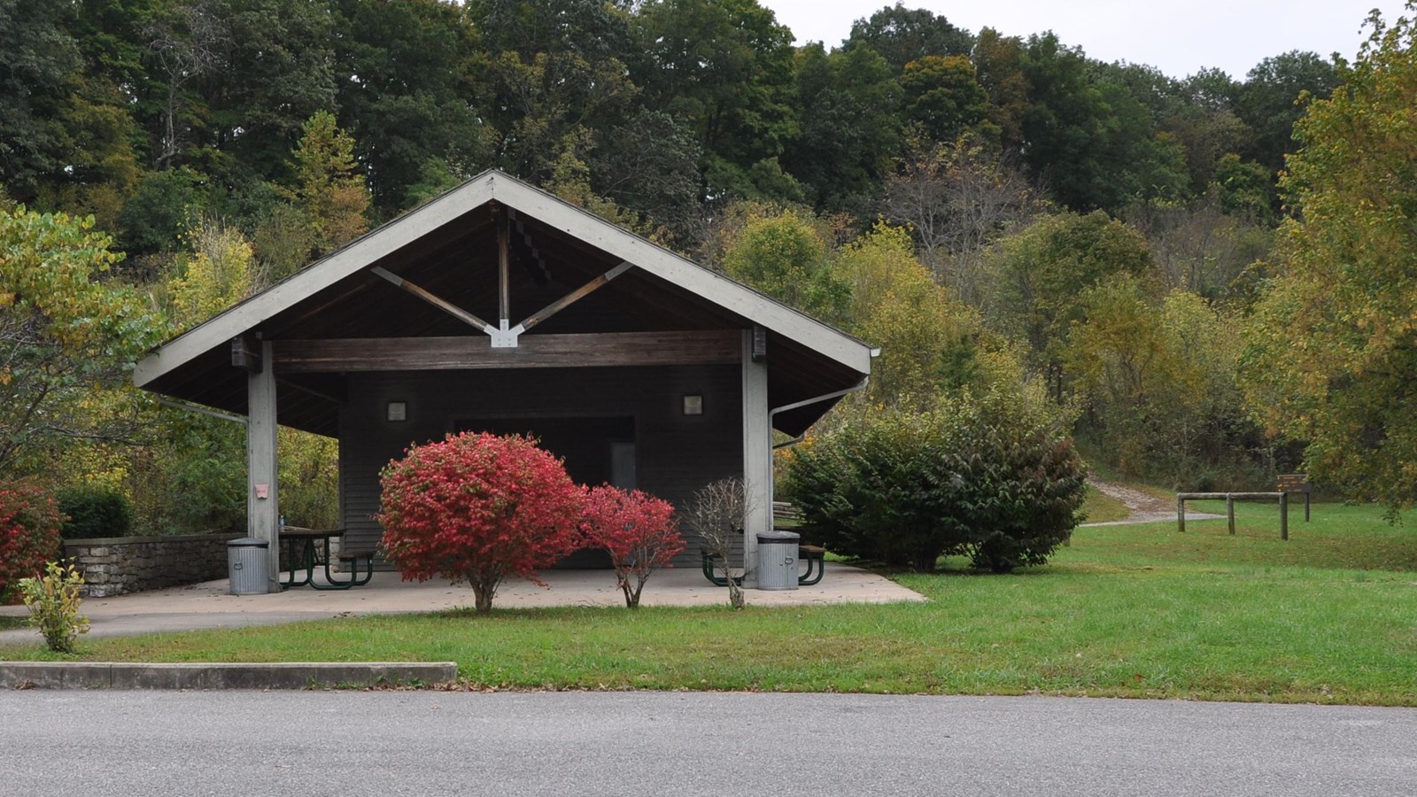
Amenities
16 listed
Benches/Seating, Hitching Post/Corral, Information, Information - Maps Available, Information Kiosk/Bulletin Board, Parking - Auto, Parking - Bus/RV, Picnic Shelter/Pavilion, Picnic Table, Restroom, Restroom - Accessible, Scenic View/Photo Spot, Toilet - Flush, Trailhead, Trash/Litter Receptacles, Water - Drinking/Potable
Named for a nearby 1801-02 U.S. Army post, Garrison Creek is a trailhead for horseback riders and hikers on the Highland Rim Trail of the Natchez Trace National Scenic Trail. Plenty of horse trailer parking is available.
This part of the Natchez Trace National Scenic Trail is 20 miles in length. From the Garrison Creek trailhead you can hike or ride your horse south to Tennessee Highway 50, milepost 408, near the Gordon House.
See Maps for additional information about the Highland Rim Trail and the rest of the Natchez Trace National Scenic Trail.