Last updated: May 27, 2021
Place
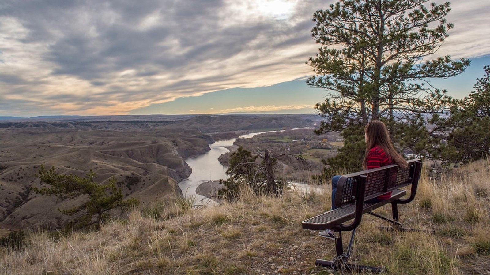
Four Dances Special Recreation Management Area
"Four Dances from the top 219" by blm_mtdks is marked with CC PDM 1.0
Quick Facts
Lewis and Clark NHT Visitor Centers and Museums
This map shows a range of features associated with the Lewis and Clark National Historic Trail, which commemorates the 1803-1806 Lewis and Clark Expedition. The trail spans a large portion of the North American continent, from the Ohio River in Pittsburgh, Pennsylvania, to the mouth of the Columbia River in Oregon and Washington. The trail is comprised of the historic route of the Lewis and Clark Expedition, an auto tour route, high potential historic sites (shown in black), visitor centers (shown in orange), and pivotal places (shown in green). These features can be selected on the map to reveal additional information. Also shown is a base map displaying state boundaries, cities, rivers, and highways. The map conveys how a significant area of the North American continent was traversed by the Lewis and Clark Expedition and indicates the many places where visitors can learn about their journey and experience the landscape through which they traveled.
Four Dances was founded by cooperative efforts between landowners, the Yellowstone River Parks Association, and the Bureau of Land Management (BLM) to preserve 765 acres of undeveloped open space in Billings. The BLM’s objective for the site is to protect the open space and natural and cultural resources, while providing dispersed public recreation in Billings.
The area is situated on a plateau just east of Downtown Billings. The plateau is edged with cliffs that drop 200-500 feet to the river and the west boundary is the Yellowstone River. Visitors can take advantage of the following activities:
- Wildlife watching
- Hiking
- Nature photography
- Environmental education