Last updated: January 16, 2022
Place
Fort Stevens State Park
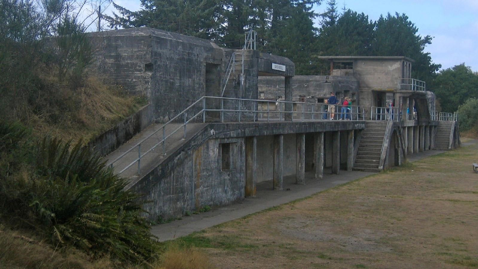
"Battery Russell, Fort Stevens State Park" by bryanh is licensed under CC BY-NC-SA 2.0
Quick Facts
Location:
Astoria, OR
MANAGED BY:
Amenities
24 listed
Accessible Sites, Amphitheater, Beach/Water Access, Boat Ramp, Canoe/Kayak/Small Boat Launch, Electrical Hookup - Boat/RV, Entrance Passes for Sale, Historical/Interpretive Information/Exhibits, Information, Information - Maps Available, Information - Ranger/Staff Member Present, Parking - Auto, Pets Allowed, Picnic Table, Playground, Restroom, Restroom - Accessible, Scenic View/Photo Spot, Sewage Dump Station - Boat/RV, Shelter/Cabin, Showers, Tent Campsites, Toilet - Flush, Trailhead
Lewis and Clark NHT Visitor Centers and Museums
This map shows a range of features associated with the Lewis and Clark National Historic Trail, which commemorates the 1803-1806 Lewis and Clark Expedition. The trail spans a large portion of the North American continent, from the Ohio River in Pittsburgh, Pennsylvania, to the mouth of the Columbia River in Oregon and Washington. The trail is comprised of the historic route of the Lewis and Clark Expedition, an auto tour route, high potential historic sites (shown in black), visitor centers (shown in orange), and pivotal places (shown in green). These features can be selected on the map to reveal additional information. Also shown is a base map displaying state boundaries, cities, rivers, and highways. The map conveys how a significant area of the North American continent was traversed by the Lewis and Clark Expedition and indicates the many places where visitors can learn about their journey and experience the landscape through which they traveled.
Overview
Fort Stevens State Park marks the site of a military installation once used to guard the mouth of the Columbia River. Today Fort Stevens is a 4,300-acre park offering a variety of recreation adventures including camping, beach-combing, a freshwater lake, museum, trails, wildlife viewing, and a historic shipwreck.History
Situated inside Fort Stevens State Park at the mouth of the Columbia River, Point Adams has served as an important landmark for centuries. When Europeans first arrived in the area, it was the site of a large Clatsop settlement, and William Clark noted eight large houses on the site when they passed by in 1805.
The area later became a Civil War-era military fort established in 1863. The original earthen fort was built to keep British and Confederate gunboats from entering the mouth of the Columbia River.
After World War II, Fort Stevens was considered obsolete, and it was turned over to the U.S. Army Corps of Engineers for use as a headquarters in 1947. Then, in 1975, the site was officially designed a state park after being leased to Oregon State Parks.
Today
Visitors can visit the historic Fort Stevens and Point Adams. The park’s visitor center and museum interpret the site’s long history. Tours through the old earthen fort and artillery gun batteries are also available. Those with a passion for the outdoors will enjoy the golf course, fishing, 15 miles of multi-use trails, and access to Coffenbury Lake for swimming and boating. Picnic tables are available on a first-come-first-served basis.
There are several camping options available in one of the countries largest public campgrounds. All campsites are ADA accessible and come equipped with a picnic table and grill. Yurts and cabins are also available for rent. Restrooms, showers, a playground, and a dump station are on site.
A day-use pass is required for entrance. For more information, visit the park’s website at Fort Stevens State Park - Oregon State Parks.