Last updated: May 21, 2021
Place
Fort Pierre
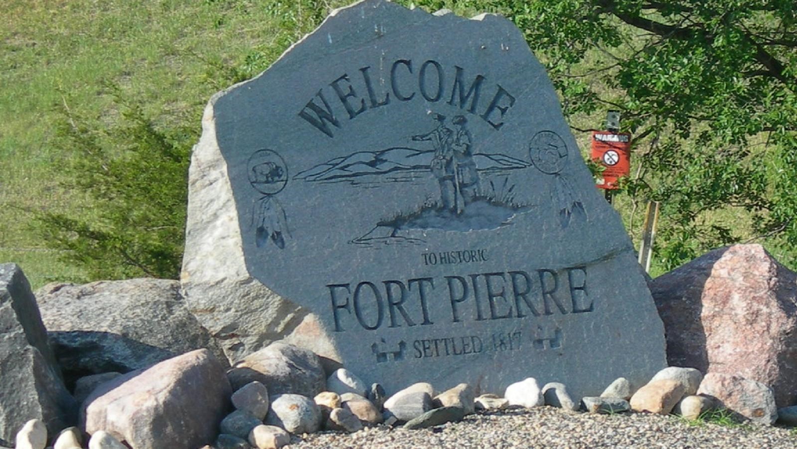
"Welcome to Fort Pierre" by jimmywayne is licensed under CC BY-NC-ND 2.0
Quick Facts
Location:
Fort Pierre, SD
MANAGED BY:
Lewis and Clark NHT Visitor Centers and Museums
This map shows a range of features associated with the Lewis and Clark National Historic Trail, which commemorates the 1803-1806 Lewis and Clark Expedition. The trail spans a large portion of the North American continent, from the Ohio River in Pittsburgh, Pennsylvania, to the mouth of the Columbia River in Oregon and Washington. The trail is comprised of the historic route of the Lewis and Clark Expedition, an auto tour route, high potential historic sites (shown in black), visitor centers (shown in orange), and pivotal places (shown in green). These features can be selected on the map to reveal additional information. Also shown is a base map displaying state boundaries, cities, rivers, and highways. The map conveys how a significant area of the North American continent was traversed by the Lewis and Clark Expedition and indicates the many places where visitors can learn about their journey and experience the landscape through which they traveled.
Fort Pierre and its surroundings have significant connections to the Lewis and Clark expeditions. The expedition’s first introduction to the region was on the evening of Monday, September 24, 1804 when Lewis, Clark and their entourage of 43 men and three boats anchored at the mouth of what is now known as Bad River. This location today is Fischers Lilly Park in Fort Pierre. The consequent days which saw the expedition’s first interaction with the Lakota people, then known as the Teton Sioux, proved contentious. Challenges in communication and differing objectives led to what many believe was the closest the expedition came to ending. We know this today because much of the interaction was recorded in Captain Clark’s journal, including the following excerpt:
“and such curiosities as we thought might amuse them; in this we succeeded to well; for after giving them a quarter of a glass of whiskey, which they seemed to like very much, and sucked the bottle dry, it was with much difficulty that we could get rid of them. They at last accompanied Captain Clark on shore in a dugout canoe with five men; but it seems they had formed a design to stop us; for no sooner had the party landed that three of the Indians seized the cable of the dugout canoe, and one of the soldiers of the chief put his arms around the mast; the second chief, who was intoxicated, then said, that we should not go on, that they had not received presents enough from us…”
Today, visitors can visit Fischers Lilly Park along with the thriving towns of Pierre and Fort Pierre, located on opposite sides of the Missouri River. The area is known for its political significance as capital of the state, high density of museums and historic sites, its plethora of outdoor recreation activities including fishing and water sports on the Missouri River, and hunting and bird watching in the Fort Pierre National Grassland and surroundings.