Last updated: March 21, 2026
Place
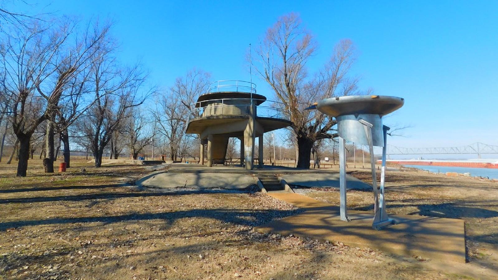
Fort Defiance State Park
Photo/Roadgeek Adam
Quick Facts
Location:
Cairo, IL
MANAGED BY:
Amenities
10 listed
Beach/Water Access, Benches/Seating, Electrical Hookup - Boat/RV, Historical/Interpretive Information/Exhibits, Parking - Auto, Parking - Bus/RV, Picnic Shelter/Pavilion, Scenic View/Photo Spot, Toilet - Vault/Composting, Trailhead
Nestled in between the Ohio and Mississippi Rivers in Cairo, Illinois, is Fort Defiance State Park, just a stone's throw from Missouri. Here is the land where, in 1803, Lewis and Clark spent time training the other members of the Corps of Discovery how to use their navigational equipment before their journey began. Today, there is a marker near the parking lot and another further into the park, both commemorating the time spent in the area by the Corps of Discovery. Additionally, visitors can see two other markers in the park; one for York, and one for Captain Lewis’s dog, Seaman.
Visitors are welcome to camp at one of the park’s 16 campsites. Campers should be advised that these sites have no flushing toilets and no showers, but half the sites do have electrical hookups and, during the warmer months, swimming is permitted. Day visitors can picnic, swim, or just take in the rolling, wooded landscape. During the spring months, much of the land is covered in natural vegetation, including many different kinds of flowers. Three equestrian trails are also available to visitors.
Covering 191 acres, Fort Defiance State Park has many different hiking trails that take visitors around the park and up to scenic overlooks. After a hike, you can take time to unwind and picnic under the park’s open air shelter. Additionally, the park has a lodge available to rent out for special occasions, designed and constructed like an old army post. Contact the park manager directly for more information at (618) 734-4127.
While you are in the area, be sure to check out the neighboring sites, including Wickliffe Mounds State Historic Site, Columbus-Belmont State Park, Horseshoe Lake State Fish and Wildlife Area, and the West Kentucky State Wildlife Management Area.