Last updated: February 23, 2026
Place
Fort de Chartres
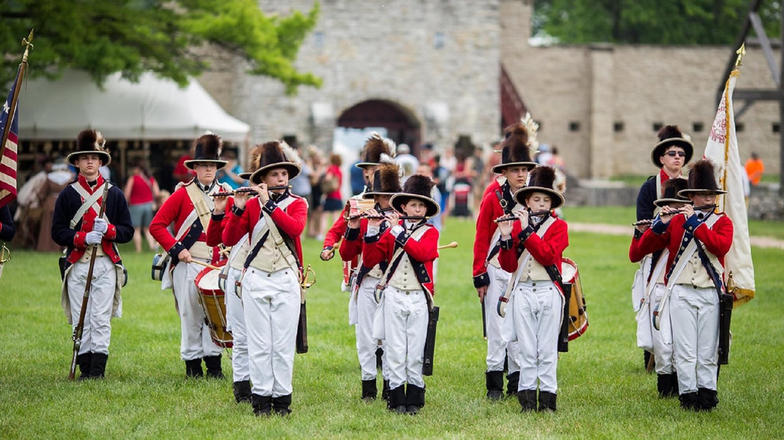
"Fort De Chartres Rendezvous Summer 2014-66" by captainkanji is licensed under CC BY-NC-SA 2.0
Quick Facts
Location:
Prairie Du Rocher, IL
MANAGED BY:
Amenities
12 listed
Accessible Sites, Benches/Seating, Gifts/Souvenirs/Books, Historical/Interpretive Information/Exhibits, Information, Information - Ranger/Staff Member Present, Parking - Auto, Parking - Bus/RV, Restroom, Scenic View/Photo Spot, Trash/Litter Receptacles, Wheelchair Accessible
France was a major player in American politics for many years, from the 17th century until Napoleon sold France’s territories in the Louisiana Purchase of 1803. Though France’s colonies were sparsely populated, the French influence can still be felt in Southern Illinois, with perhaps the best example being Fort de Chartres.
Originally a wooden fort, Fort de Chartres was upgraded to a stone fort from 1753 to 1754, right around the time when the French and Indian War began. While it was an important French fort, the Fort du Chartres was abandoned by the British and it fell into disrepair. Eventually, the only things remaining were foundations and the powder magazine.
The Fort de Chartres stands again after many years of restoration. It is full of buildings and reenactors who make visitors feel like they’ve been transported back to the 18th century. Reenactors wear period clothing, sharing a glimpse into what life was like when the fort was built.
Fort de Chartres is a High Potential Historic Site of the Lewis and Clark National Historic Trail. Below is the text from the HPHS report:
While at Kaskaskia, Lewis and Clark explored the area and made observations. On December 3, 1803, Clark took bearings from various locations near the ruins of Fort de Chartres, a stone fortification built by the French up the Mississippi River from Kaskaskia. He recorded from a small island north of Ste. Genevieve that he had “a view of two sides of the Fort, which at the distance of about 2 miles and a half.” The channel between the island and the fort was “intirely dry, and appears to be filling up with Sand and mud,” indicative of the ever changing topography of the riverscape. Fort de Chartres was built as a wooden fortification in 1720 to protect French trade interests. Frequent floods destroyed several iterations of the fort, and by 1753 the French commissioned a stone fort on the site. The fort came under British control after their victory in the French and Indian War. They held Fort de Chartres until 1772, when the south wall and bastion collapsed into the river, then removed to Fort Gage at Kaskaskia. Locals scavenged the ruins for building materials, with only the stone powder magazine remaining by 1900. The state of Illinois purchased the site in 1913, and reconstruction of the site to its 1753 appearance continued over the next several decades. Fort de Chartres was named a National Historic Landmark in 1960 and placed on the National Register of Historic Places, first as part of the French Colonial Historic District in 1974 and as an individual site two years later.
Lewis and Clark NHT Visitor Centers and Museums
This map shows a range of features associated with the Lewis and Clark National Historic Trail, which commemorates the 1803-1806 Lewis and Clark Expedition. The trail spans a large portion of the North American continent, from the Ohio River in Pittsburgh, Pennsylvania, to the mouth of the Columbia River in Oregon and Washington. The trail is comprised of the historic route of the Lewis and Clark Expedition, an auto tour route, high potential historic sites (shown in black), visitor centers (shown in orange), and pivotal places (shown in green). These features can be selected on the map to reveal additional information. Also shown is a base map displaying state boundaries, cities, rivers, and highways. The map conveys how a significant area of the North American continent was traversed by the Lewis and Clark Expedition and indicates the many places where visitors can learn about their journey and experience the landscape through which they traveled.