Last updated: August 13, 2024
Place
Fire in the Park

Quick Facts
Location:
Camas Rd, 0.5 miles east of intersection with North Fork Rd
Amenities
4 listed
Audio Description, Parking - Auto, Trailhead, Wheelchair Accessible
Glacier National Park’s relationship with fire is deep, complex, and ever-changing. And though these exhibits focused on what goes on within Glacier’s borderlines, the story of a burning world connects to everyone that happens to live here on earth—including you. Have you felt the effects of wildfire in your life yet? Conversely, how have your actions affected the course of wildfires here, and elsewhere?
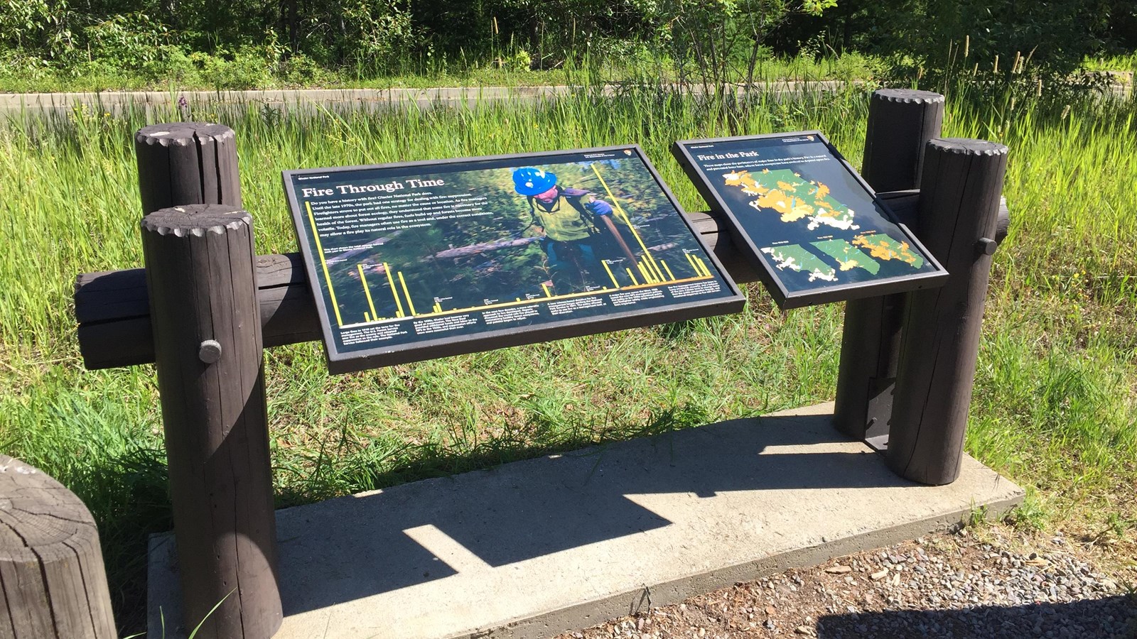
The smaller righthand panel, titled “Fire in the Park,” shows the footprints of major fires in Glacier National Park. Over a photo of grey and blue smoke, one large map depicts all the boundaries of major fires from 1910-2015. Then, below the larger map, three smaller maps split up fire boundaries from 1910-1926, in cream, 1927-1987, in light orange, and 1988-2015, in darker orange. From 1910-1926, fires mostly border the southern and western boundaries of the park. From 1927-1987, fewer total acres appear to have burned, and fires seem to have occurred where previous major fires hadn’t been recorded. From 1988-2015, large swaths bordering the park’s western boundary again burned, along with patches through the middle and eastern side of the park. White text reads: Fire is a natural and perennial force here, where forest ecosystems have evolved to depend upon fire.
The smaller righthand panel, titled “Fire in the Park,” shows the footprints of major fires in Glacier National Park. Over a photo of grey and blue smoke, one large map depicts all the boundaries of major fires from 1910-2015. Then, below the larger map, three smaller maps split up fire boundaries from 1910-1926, in cream, 1927-1987, in light orange, and 1988-2015, in darker orange. From 1910-1926, fires mostly border the southern and western boundaries of the park. From 1927-1987, fewer total acres appear to have burned, and fires seem to have occurred where previous major fires hadn’t been recorded. From 1988-2015, large swaths bordering the park’s western boundary again burned, along with patches through the middle and eastern side of the park. White text reads: Fire is a natural and perennial force here, where forest ecosystems have evolved to depend upon fire.
