Last updated: July 18, 2025
Place
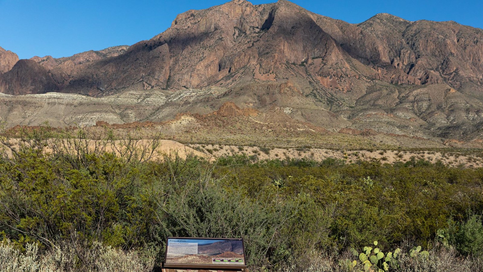
Fins of Fire Exhibit
NPS/CA Hoyt
Quick Facts
Location:
4 miles from the northern end of Ross Maxwell Scenic Drive.
Significance:
Geology
Amenities
4 listed
Historical/Interpretive Information/Exhibits, Parking - Auto, Scenic View/Photo Spot, Wheelchair Accessible
Examples of intrusive (cooled underground) and extrusive (cooled on the surface) igneous formations are abundant in the Chisos Mountains and throughout Big Bend National Park. Here, intrusive volcanic dikes form walls across the landscape. Can you see the two people who are in the photo for scale?
The exhibit text reads, "The Chisos Mountains are composed primarily of extrusive igneous rocks. Magma, pushed up from deep underground chambers, erupted and cooled on the surface, forming massive domes and colorful beds of ash. Here, something different happened. The long, fin-like ridges you see are intrusive igneous features called dikes. The dikes formed underground as magma squeezed its way through beds of overlying rock, only to cool and solidify before it reached the surface. Over time, erosion exposed the harder rock of the igneous dikes.
Like great stone walls dikes can be traced for miles across the park. They often radiate out from eruptive centers, helping geologists piece together how the Chisos Mountains were formed."
Beside a panel of four graphic images showing how dikes are formed is this text: "Following paths of least resistance, magma welled up into subterranean cracks in older, overlying rock 29 million years ago.
Over time, the magma cooled and solidified. Softer, surrounding rock eventually weathered away, leaving wall-like igneous dikes silhouetted across the landscape."