Last updated: October 28, 2021
Place
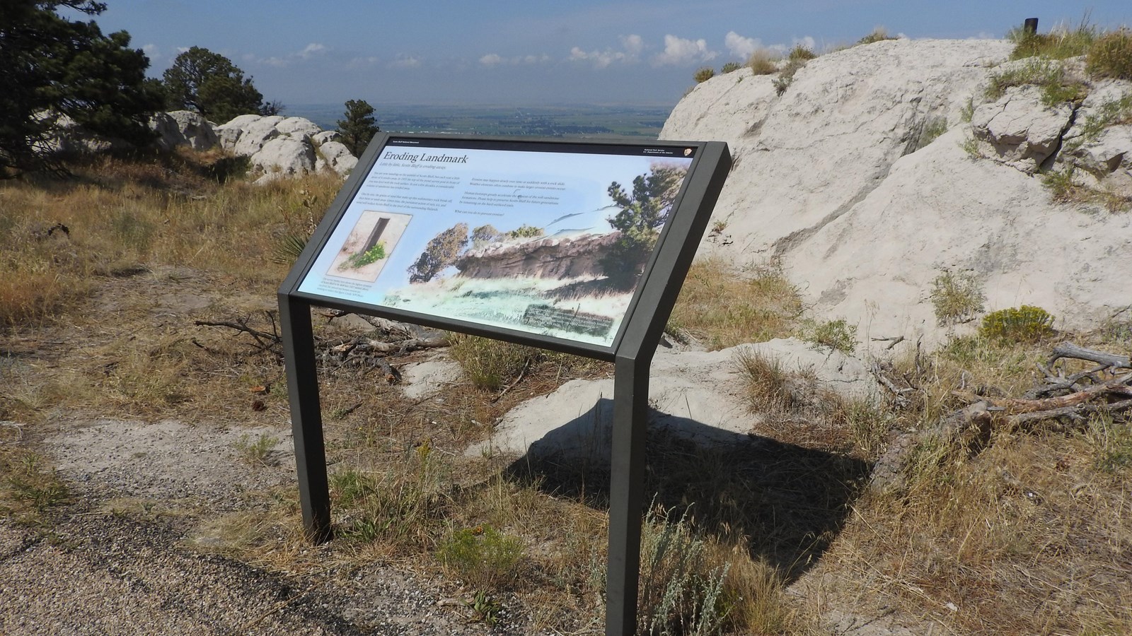
"Eroding Landmark" Wayside

NPS/ Walker Donnelly
Quick Facts
Amenities
1 listed
Historical/Interpretive Information/Exhibits
Description of Wayside: Low-profile wayside that is 42 x 24 inches. It has a black rectangular base with two rectangular pillars supporting the wayside panel. The panel is framed in black metal. The wayside is located near the summit of Scotts Bluff, just east of the North Overlook Trail.
Wayside Layout: At the top of the wayside is a thin black banner with white text. Aligned to the left is "Scotts Bluff National Monument". Aligned to the right is the text "National Park Service U.S. Department of the Interior," and finally the National Park Service arrowhead. The title of the wayside is below the black banner in large black font. The panel has a light-blue colored background. Black text is arranged in two columns in the upper left hand corner of the wayside. There is a primary image that takes up most of the wayside and an inset image in the lower left-hand corner.
Wayside Title: Eroding Landmark
Text: Little by little, Scotts Bluff is eroding away.
You are now standing on the summit of Scotts Bluff, but each year a little more of it erodes away. In 1933, the top of the metal survey post in front of you was level with the rock surface. In just a few decades a considerable volume of sandstone has eroded away.
One by one, the grains of sand that make up this sedimentary rock break off, then blow or wash away. Given time, the persistent action of rain, ice, and wind will reduce Scotts Bluff to the level of the surrounding flatlands.
Erosion may happen slowly over time or suddenly with a rock slide. Weather elements often combine to make larger erosion events occur.
Human footsteps greatly accelerate the erosion of soft sandstone formations. Please help to preserve Scotts Bluff for future generations by remaining on the hard-surfaced trails.
What can you do to prevent erosion?
Primary Image: Layers of soft, tan sandstone rock are seen capped with a layer of harder, gray limestone.
Primary Image Caption: Cap layers of hard, erosion-resistant rock help to protect softer layers below. The cap rock in front of you is gradually breaking away, exposing the pale, easily-crumbled sandstone to the elements. Credit: NPS photo.
Inset Image: A metal post survey marker sticks out of the ground. Yellow flowers bloom at its base.
Inset Image Caption: The survey marker here shows the highest elevation of Scotts Bluff to be 4649 feet (1417 meters) above sea level, but natural and human erosion are working to reduce that figure. Credit: NPS Photo.
