Last updated: September 5, 2023
Place
Elk Point Election Site
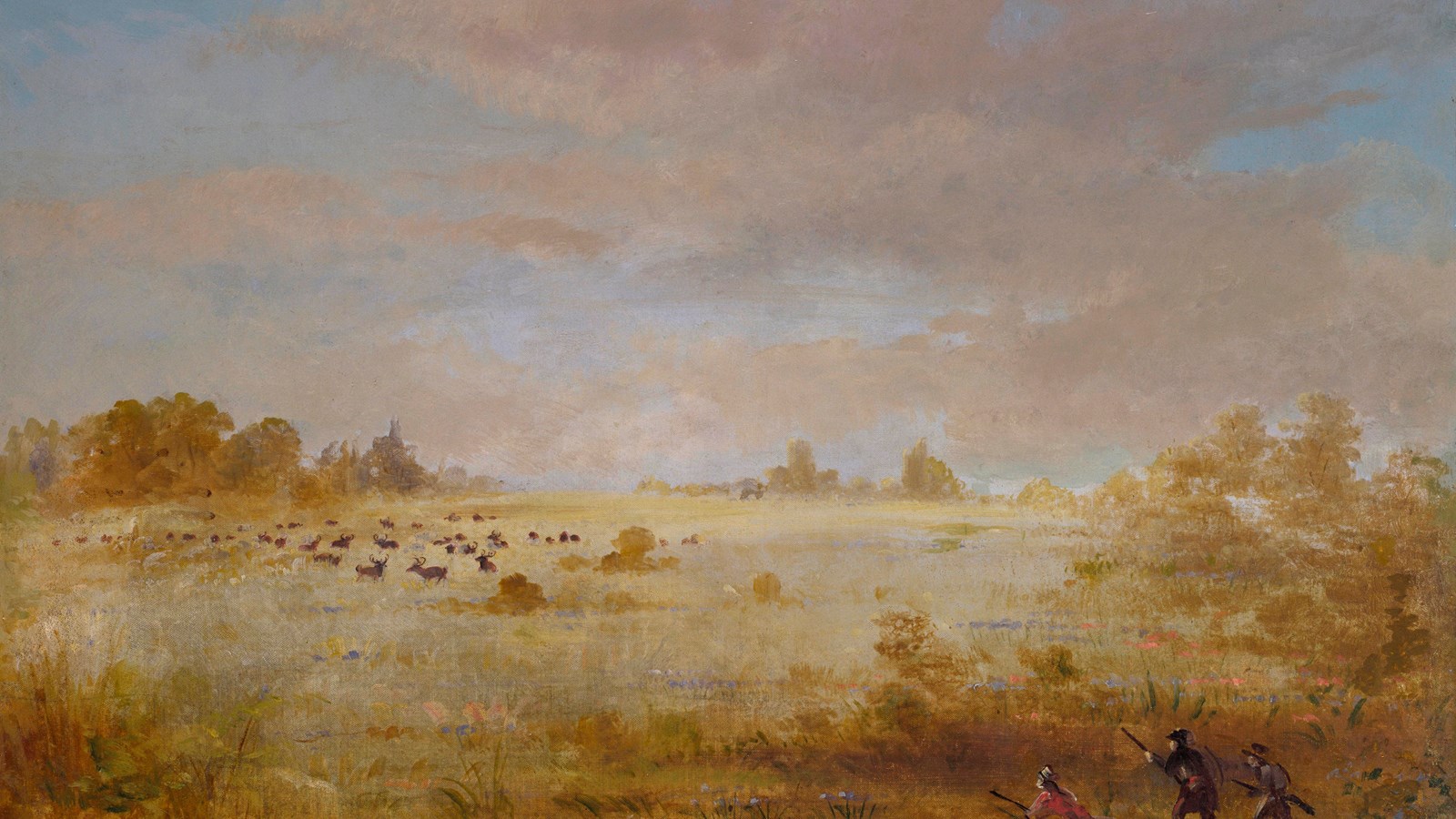
George Catlin, Elk Grazing on an Autumn Prairie, 1846-1848, oil on canvas, Smithsonian American Art
Quick Facts
Location:
S Harrison St, Elk Point, SD 57025
Significance:
Approximate site of first U.S. election west of the Mississippi.
Designation:
Lewis and Clark National Historic Trail, City Park
Amenities
10 listed
Electrical Hookup - Boat/RV, Fire Pit, Parking - Auto, Picnic Shelter/Pavilion, Picnic Table, Playground, Recreational Field, Restroom, Showers, Water - Drinking/Potable
After Sergeant Charles Floyd’s death on August 20, 1804, one of the three squads of the Lewis and Clark Expedition was left without a leader. Sergeants served as a link in the military expedition’s chain of command. Privates could not communicate directly with Captains Meriwether Lewis and William Clark. They reported to their squad sergeant, who then conveyed the information to the captains. Each squad was also responsible setting up camp and cooking for its members.
Two days after Floyd’s death, Clark ordered a vote to select a new sergeant for the second squad. Three men stood out for promotion: William Bratton, Patrick Gass, and George Gibson. The journals do not provide details about what was said during election proceedings, but Gass won by an overwhelming nineteen of twenty-seven possible votes (York, who was enslaved by Clark, was likely not allowed to vote).
Gass’s sense of humor and straight talk may have been an attraction for the men. In the official promotion order on August 26, Lewis praised “the capacity, deligence and integrety of Sergt. Gass.”
Historians have sometimes called the election at Elk Point the first U.S. election held west of the Mississippi River.
About this article: This article is part of series called “Pivotal Places: Stories from the Lewis and Clark National Historic Trail.”
Lewis and Clark NHT Visitor Centers and Museums
This map shows a range of features associated with the Lewis and Clark National Historic Trail, which commemorates the 1803-1806 Lewis and Clark Expedition. The trail spans a large portion of the North American continent, from the Ohio River in Pittsburgh, Pennsylvania, to the mouth of the Columbia River in Oregon and Washington. The trail is comprised of the historic route of the Lewis and Clark Expedition, an auto tour route, high potential historic sites (shown in black), visitor centers (shown in orange), and pivotal places (shown in green). These features can be selected on the map to reveal additional information. Also shown is a base map displaying state boundaries, cities, rivers, and highways. The map conveys how a significant area of the North American continent was traversed by the Lewis and Clark Expedition and indicates the many places where visitors can learn about their journey and experience the landscape through which they traveled.