Last updated: June 8, 2021
Place
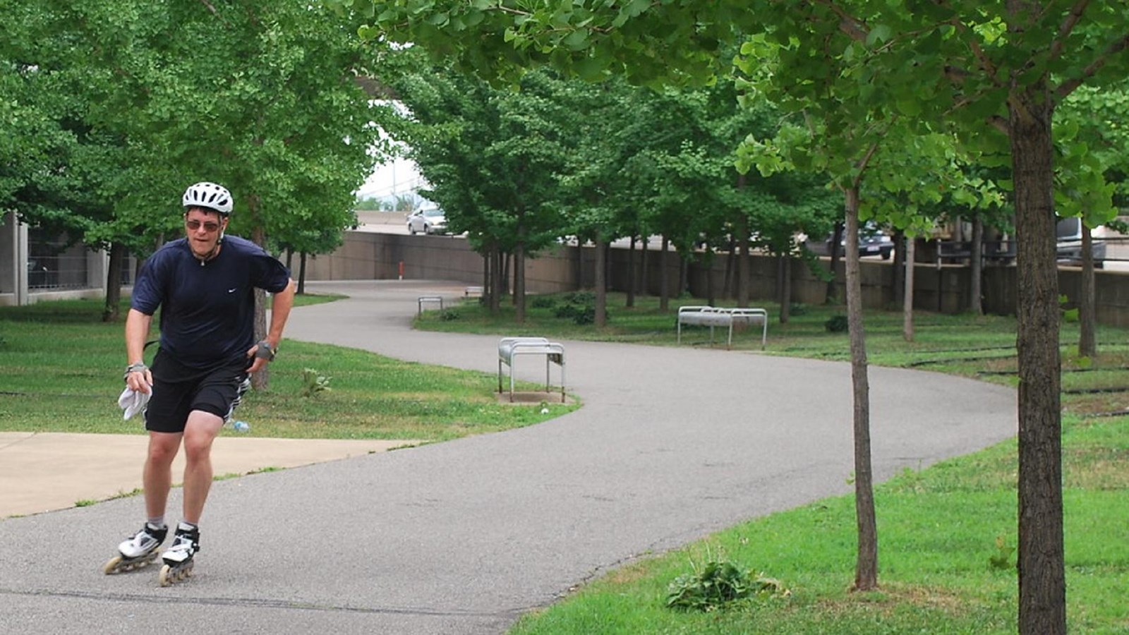
Eliza Furnace Trail
"Eliza Furnace Trail" by PilotGirl is licensed under CC BY-NC-SA 2.0
Quick Facts
Location:
Pittsburgh, PA
MANAGED BY:
Amenities
9 listed
Beach/Water Access, Benches/Seating, Canoe/Kayak/Small Boat Launch, Historical/Interpretive Information/Exhibits, Information, Parking - Auto, Scenic View/Photo Spot, Trailhead, Wheelchair Accessible
Lewis and Clark NHT Visitor Centers and Museums
This map shows a range of features associated with the Lewis and Clark National Historic Trail, which commemorates the 1803-1806 Lewis and Clark Expedition. The trail spans a large portion of the North American continent, from the Ohio River in Pittsburgh, Pennsylvania, to the mouth of the Columbia River in Oregon and Washington. The trail is comprised of the historic route of the Lewis and Clark Expedition, an auto tour route, high potential historic sites (shown in black), visitor centers (shown in orange), and pivotal places (shown in green). These features can be selected on the map to reveal additional information. Also shown is a base map displaying state boundaries, cities, rivers, and highways. The map conveys how a significant area of the North American continent was traversed by the Lewis and Clark Expedition and indicates the many places where visitors can learn about their journey and experience the landscape through which they traveled.
The Eliza Furnace Trail, part of the Three Rivers Heritage Trail in Pittsburgh, Pennsylvania is a six mile out-and-back hike that leads from the southwest corner of Schenley Park to Point State Park and the Downtown section of the TRHT and back. The trail is flat and paved the entire way, allowing for it to be enjoyed by people of all skill levels! Open year-round, the trail is the perfect place to hike, bike, or walk dogs (if they are kept on a leash!)
Since the trail runs along the Monongahela River, it offers views of many iconic Pittsburgh sites: South Side, the Hot Metal Bridge, Liberty Bridge, the Smithfield Street Bridge, and Mount Washington can all be seen from the trail. Wildflowers, when in season, also line the trail, allowing for a very scenic experience.
Parking can be found at the parking lot by the coordinates provided (40°25’34.3″N 79°57’10.7″W). Turn off of Second Ave and onto the dead-end road – you’ll see signs for trailhead parking.