Last updated: March 24, 2021
Place
DeSoto and Boyer Chute National Wildlife Refuges
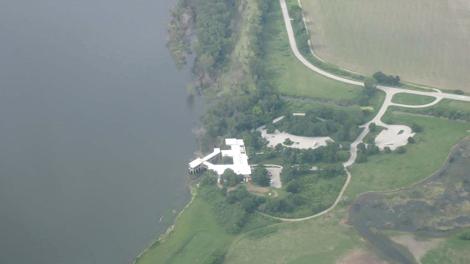
Image by U.S. Fish and Wildlife Service- Midwest Region CC BY 2.0 License
Quick Facts
MANAGED BY:
Amenities
19 listed
Baby Changing Station, Benches/Seating, Boat Ramp, Canoe/Kayak/Small Boat Launch, Gifts/Souvenirs/Books, Historical/Interpretive Information/Exhibits, Information, Information - Maps Available, Information - Ranger/Staff Member Present, Information Kiosk/Bulletin Board, Parking - Auto, Parking - Boat Trailer, Parking - Bus/RV, Picnic Shelter/Pavilion, Picnic Table, Restroom, Scenic View/Photo Spot, Toilet - Flush, Toilet - Vault/Composting
Lewis and Clark NHT Visitor Centers and Museums
This map shows a range of features associated with the Lewis and Clark National Historic Trail, which commemorates the 1803-1806 Lewis and Clark Expedition. The trail spans a large portion of the North American continent, from the Ohio River in Pittsburgh, Pennsylvania, to the mouth of the Columbia River in Oregon and Washington. The trail is comprised of the historic route of the Lewis and Clark Expedition, an auto tour route, high potential historic sites (shown in black), visitor centers (shown in orange), and pivotal places (shown in green). These features can be selected on the map to reveal additional information. Also shown is a base map displaying state boundaries, cities, rivers, and highways. The map conveys how a significant area of the North American continent was traversed by the Lewis and Clark Expedition and indicates the many places where visitors can learn about their journey and experience the landscape through which they traveled.
The DeSoto National Wildlife Refuge was originally named after the town of DeSoto, Nebraska, which was itself named after the DeSoto River Bend. Prosperous in the mid 19th century, the town served as a key transportation destination along the Missouri River. In the mid 20th century, the area was identified as having high potential for the development of wildlife. The DeSoto National Wildlife Refuge was officially established on March 12, 1958. In the Lewis and Clark expedition, the DeSoto River Bend served as the location of the captains’ campgrounds during their first meeting with the Native Americans at Council Bluff.
The Boyer Chute National Wildlife Refuge, named after the Boyer Chute that crosses through the middle of the Refuge, was created in 1992. The Boyer Chute had originally been blocked off in 1937 in an attempt to simplify the path for boat travel, to the detriment of the chute’s native species. The Refuge’s mission is to preserve the habitats of various wildlife and aquatic species that reside in the area.
Today, The Boyer Chute and DeSoto National Wildlife Refuges are managed jointly. The refuges provide opportunities for fishing, hunting, wildlife viewing, photography, education, and self-guided tours. The DeSoto Visitor Center features the Bertrand Steamboat Museum, which displays the remaining cargo found from the sunken Bertrand Steamboat of the 1860s.