Last updated: October 10, 2024
Place
Desolation Canyon
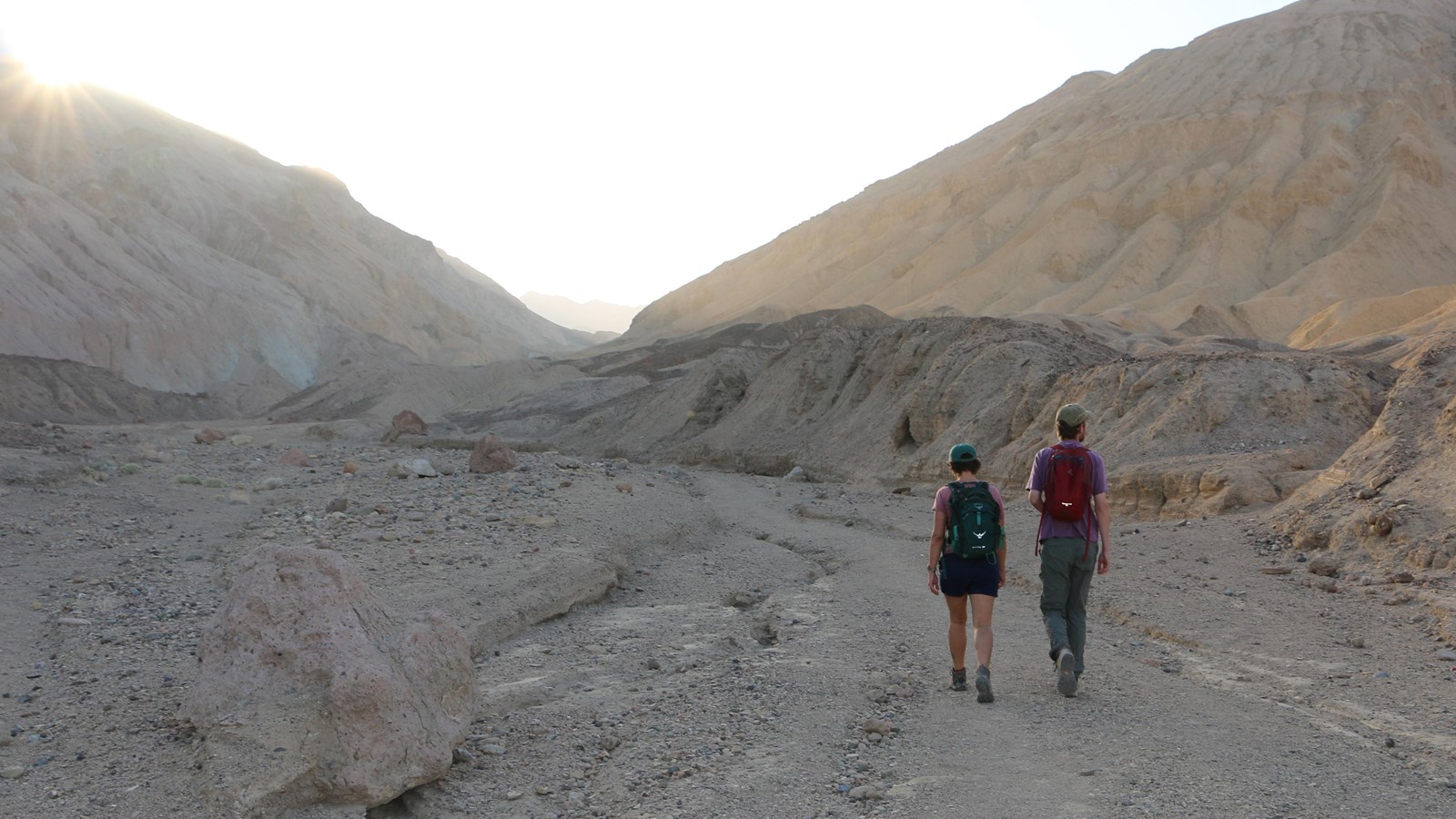
NPS/ M. Lavelle
Quick Facts
Location:
Death Valley National Park
Significance:
Hiking Route
Amenities
3 listed
Parking - Auto, Scenic View/Photo Spot, Trailhead
Colorful canyon walls and mud-cracked earth beckon those searching for an off-trail adventure.
This spectacular canyon is less frequently explored than other areas of the park, and offers a challenging hike with incredible scenery. Upon entering the canyon, visitors find themselves immersed in the badlands; geologic formations made up of fine, silt-like sediments that covered the bottom of an enormous lake which once stretched across much of Death Valley.
While hiking through these badlands, notice how easily the canyon walls crumble and erode. Badlands are greatly impacted by sudden downpours of rain, which quickly turn this canyon into a river of mud. Hikers will step over piles of dried sediment at the base of the canyon walls, and crisscross a section of deep mud-cracks, all of which were left behind from powerful flash floods and mudflows.
Most of the badlands in Desolation Canyon are a rich golden color, but as hikers progress up the canyon they will see some sections of green, red and purple rocks. Millions of years ago, when this area was under water, nearby volcanic eruptions deposited layers of ash and debris in the lake, which settled among the silts and clays at the bottom. After the lake evaporated away and exposed the badlands formations, the iron minerals in these ash deposits reacted with oxygen and developed colorful tints. Some of the best times to hike through Desolation Canyon are in the late afternoon and early evening, when the low light catches these colorful rocks.
HIKING NOT ADVISED AFTER 10 AM IN THE SUMMER
Round Trip Length: 3.6 mile (5.8km)
Round Trip Time: 2.5 hours
Difficulty: Moderate/Difficult
Elevation Gain: 600 ft (183m)
Trail Type: Out and back route- not an official trail
Location: The short unpaved Desolation Canyon Road is located 3.7 miles (6km) south of CA-190 off Badwater Road.
Parking: Gravel parking area
Route: Up a canyon. After about a mile, hikers will encounter two dryfalls to scramble over; use caution, especially while descending. The route ends at the top of Desolation Canyon, with a spectacular view of Death Valley below.
Note: pets are not allowed on any trail in Death Valley National Park, even if carried. Do not leave your animal in your vehicle. Speak with a ranger about one of the incredible dirt roads where you may walk your pet.