Last updated: April 12, 2021
Place
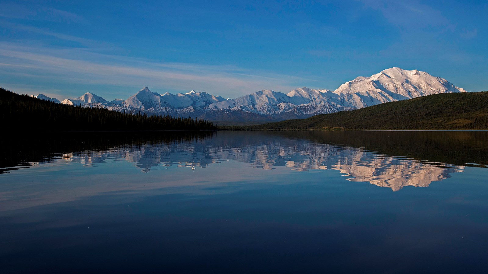
Wonder Lake "Y"
NPS Photo
Quick Facts
Amenities
1 listed
Scenic View/Photo Spot
The Wonder Lake "Y" is a fork in the road where travelers can choose to head toward Wonder Lake Campground or continue on to Kantishna and the end of the Denali Park Road.
Kantishna-bound buses will stay on the Park Road and travel along the east side of Wonder Lake. Wonder Lake transit buses will turn down the 1.5-mile-long Wonder Lake Campground Road to reach their destination at the south end of the lake. Either option provides views of Wonder Lake itself.
Geology
Do you wonder how Wonder Lake formed? Wonder Lake, 2.6 miles (4.2 km) long and 280 feet (85 m) deep, was excavated by the Muldrow Glacier and then dammed by its recessional moraines. Approximately 22,000 years ago, the Muldrow covered the area now occupied by the lake and formed the moraine that dams its north end. By ~14,000 years ago the glacier had retreated, leaving behind the recessional moraine that dams the southern end of the lake.
Thanks to a quirk of topography, the inflow and outflow channels of Wonder Lake are located side-by-side at the northern end of the lake. The lake is fed by an unnamed stream that flows in from the east and crosses under the park road at mile 85.2. It drains just a few hundred feet (~100 m) to the west through Lake Creek.