Last updated: January 12, 2021
Place
Pretty Rocks Landslide

NPS Photo
Quick Facts
Location:
Mile 45.5, Denali Park Road
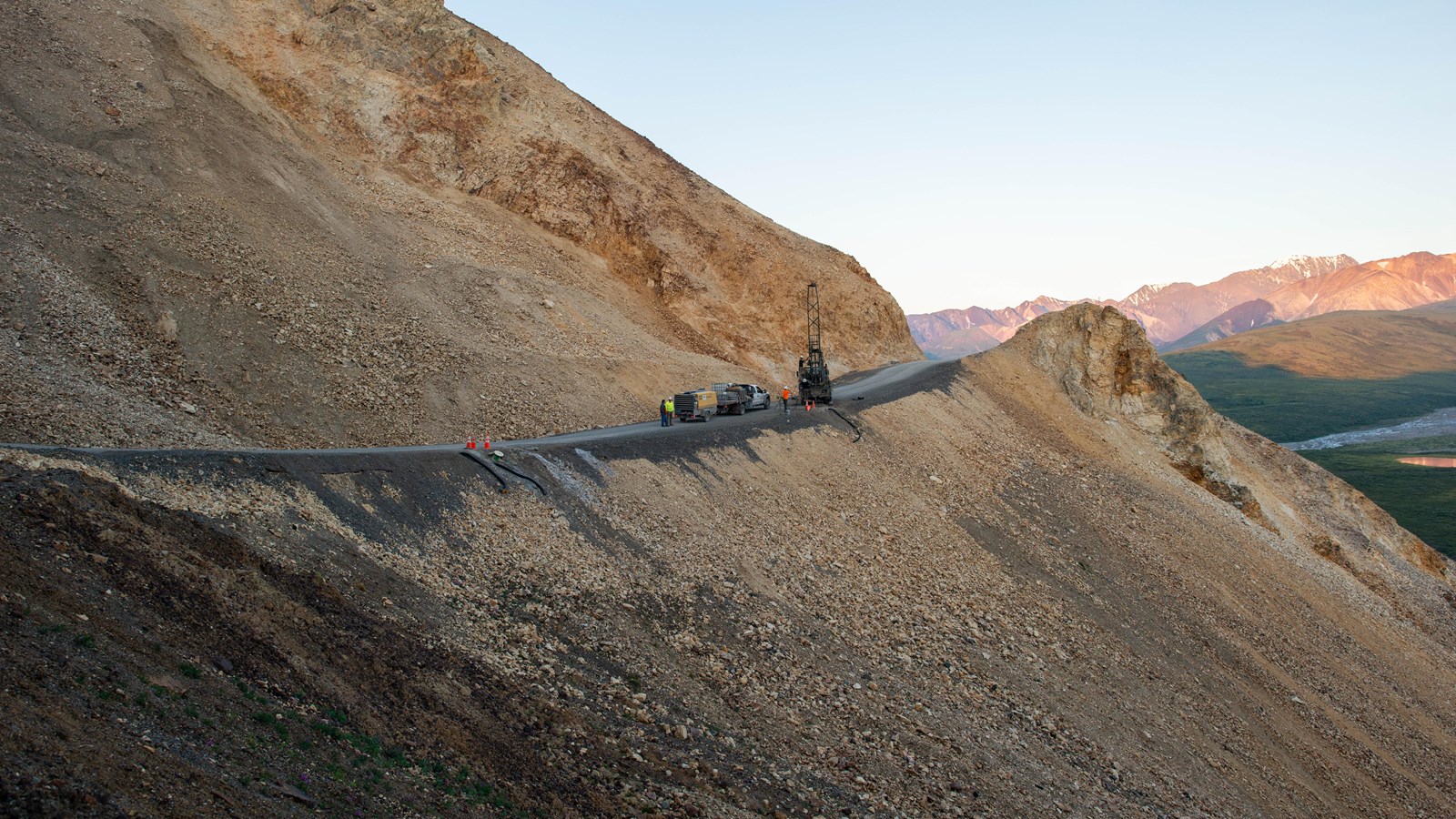
A sharp turn in the road with breathtaking drop-offs to the left brings you to the Pretty Rocks Landslide at Mile 45.5 of the Denali Park Road. As the road traverses this steep slope high on the side of Polychrome Mountain, volcanic rocks of the Teklanika Formation are exposed. Generally, the lighter volcanic rock of the Teklanika Formation is rhyolite and the darker rock is basalt. Within those rock types, relatively small changes in rock chemistry result in the bright pallet of chromatic variety before you. Polychrome Mountain is memorable for its vivid rock colors and breaktaking vistas, but from a geological perspective it possesses intrinsic hazards. The Teklanika Formation is no exception to the general rule that volcanic rock is crumbly and weak and thus prone to landslides.
Park managers have been aware of this landslide since the 1960s, but it wasn’t considered a major issue until it began to speed up markedly in 2014. By 2018 the slide rate had increased to as much as 13 inches per month, creating a swale that steepened the road gradient and limited sight lines. Beginning in August of 2019 and continuing until the time of this writing in January 2020, Pretty Rocks Landslide is moving downhill at a rate of almost 60 inches (1.5 m) per month with approximately 300 feet (91 meters) of the Denali Park Road in its clutches. In response, park managers are studying potential solutions that will allow for continued access west of Polychrome Mountain for the foreseeable future.
Why is Pretty Rocks Landslide changing so quickly, and why now? Boreholes drilled into the road between 2003 and 2019 have revealed significant amounts of thaw-sensitive (relatively warm) ice-rich permafrost directly beneath the road. Thus the most plausible answer is that the permafrost in the area is thawing, consistent with regional trends, resulting in loss of slope stability. Recent increases in precipitation amount and severity are probably contributing as well.
