Last updated: June 28, 2025
Place
Definied by Water Exhibit
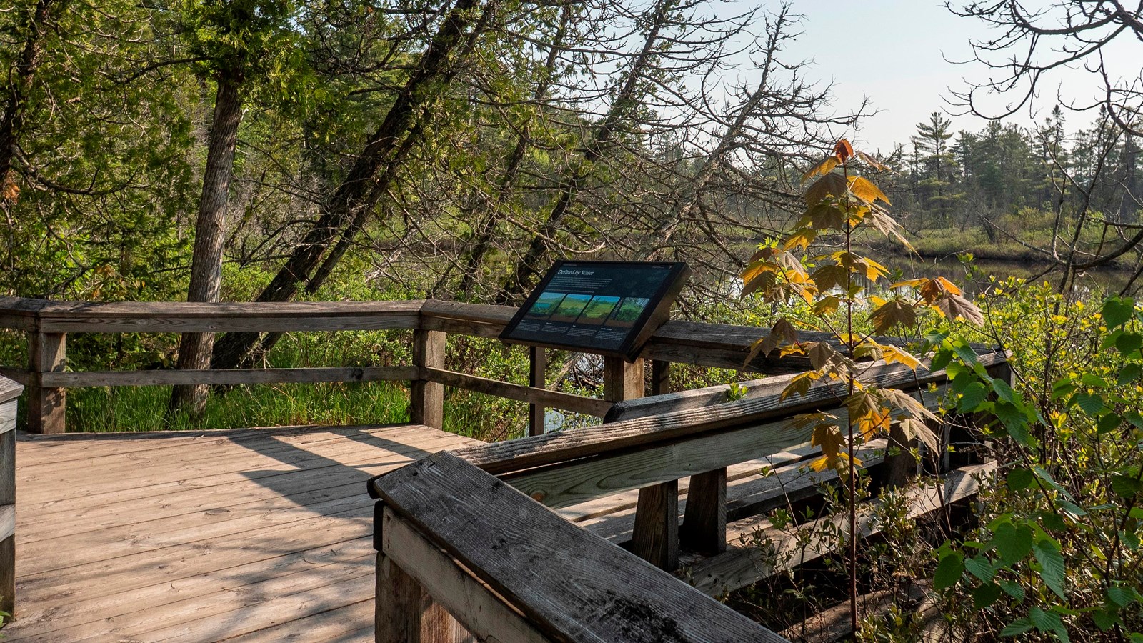
Defined by Water
The shape of the land and the flow of water at this location create a unique mixture of wetland habitats. Over thousands of years, as sand blew in from Lake Superior, a series of undulating dunes formed. The Ojibwe word for Lake Superior is Gichigami. The lower areas filled with water while higher areas stayed drier and eventually supported trees and shrubs. Marsh, poor fen, bog, and conifer swamp are all part of this wetland mosaic. The types of plants in each habitat are a good indicator of how much water is near or below the surface.
As you walk the trail, see if you can identify the type of wetland you are passing through.
Marsh
Marshes are a type of wetland where open ponds are interwoven by floating plants and plants that take root along the bottom. Water lilies are a common sight. Marsh ponds are generally visible year-round, though they freeze in the winter months. Turtles and fish prefer this habitat.Poor Fen
A poor fen wetland is less wet than a marsh. Surface water is visible seasonally as groundwater rises and falls. With less water, there are less nutrients. Thick stands of sweet gale, cattail, and sedge crowd these nutrient-poor wetlands.Bog
Bogs are enclosed depressions that fill with rainwater. They are generally too high to be refreshed with groundwater. Thick mats of sphagnum moss give the impression that the ground is dry, however, if you were to step into one, you may get wet up to your knees!