Last updated: October 11, 2024
Place
Crystal Lakes Trailhead

NPS Photo
Parking - Auto, Trailhead
Season: Summer (May – mid-November)
SR 410 is open during the summer only, typically from May to mid-November. It is possible for the higher elevations of the trail to be snow-covered in the shoulder seasons.
Crystal Lakes Trailhead is located on SR 410 approximately 4 miles north of Cayuse Pass toward the north park boundary. The trail starts on the east side of the road near Crystal Creek. Note that there are no restrooms at the trailhead. The closest restrooms within the park are at the White River Entrance, 1.8 miles from the trailhead via the White River Road.
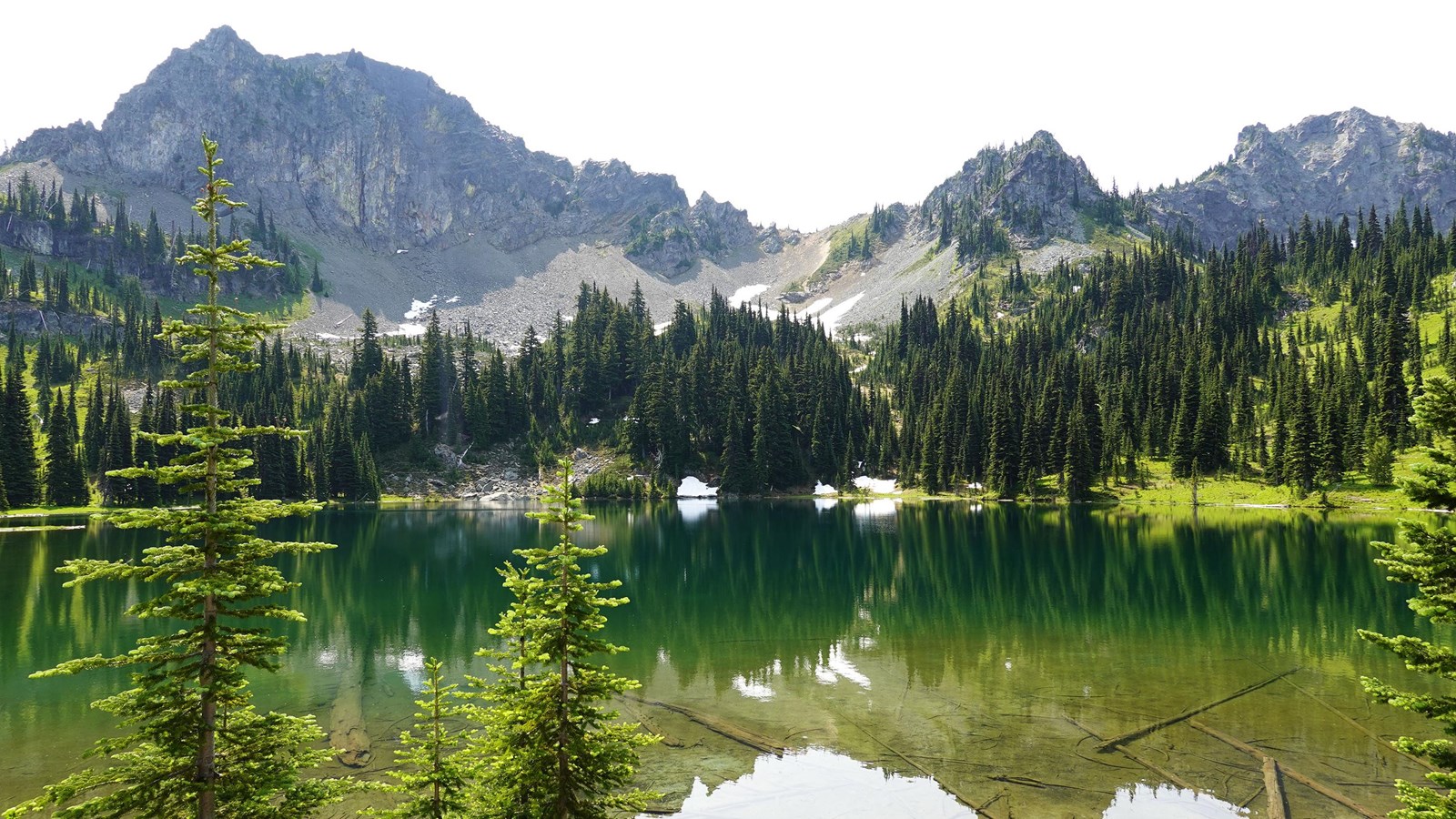
Crystal Lakes Trail is 6 miles roundtrip with 2,300 feet of elevation gain. The first 1.5 miles of trail climbs through the forest on a series of switchbacks which provide a good look at Mount Rainier until the view is eclipsed by Crystal Peak. The next mile leads to forested Lower Crystal Lake, the smaller of the two lakes. The lovely open basin containing Upper Crystal Lake lies 0.5 mile beyond the lower lake.
By late July and early August the meadows explode with a wide variety of colorful subalpine wildflowers. Please stay on trail to protect the meadows! Watch for elk and mountain goats grazing on the surrounding slopes and ridges anytime throughout the summer and early fall. A side trip to Crystal Peak (five miles round-trip on an unmaintained trail) is well worth the effort. On a clear day five volcanoes can be seen from this 6615-foot former fire lookout site. Start early in the day if you plan on hiking to the peak as the trail traverses a shadeless south-facing slope which can be very hot and dry during summer.
Backpacking
There are wilderness camps both at Lower and Upper Crystal Lakes. Camp in designated sites only. Permits are required for camping. Permits and current trail conditions are available park-wide from wilderness information centers, ranger stations, and visitor centers. Current trail conditions are available park-wide from wilderness information centers, ranger stations, and visitor centers. Fires are prohibited. No pets on trails. Treat water before drinking.
Crystal Lakes Trail Map
Map centered on the Crystal Lakes Trail in the northeast corner of Mount Rainier National Park. From the SR410, the trail switchbacks to the east up a steep slope to reach Crystal Lakes in the Cascade Range. Points of interest are marked by black symbols on the map. Several tools are represented by icons along the left side of the map. A ruler icon opens a tool to measure distance or area on the map. Clicking on plus or minus icons will zoom the view in/out, and clicking on a house icon will return the map to the original view centered on Crystal Lakes Trail.
