Last updated: March 27, 2024
Place
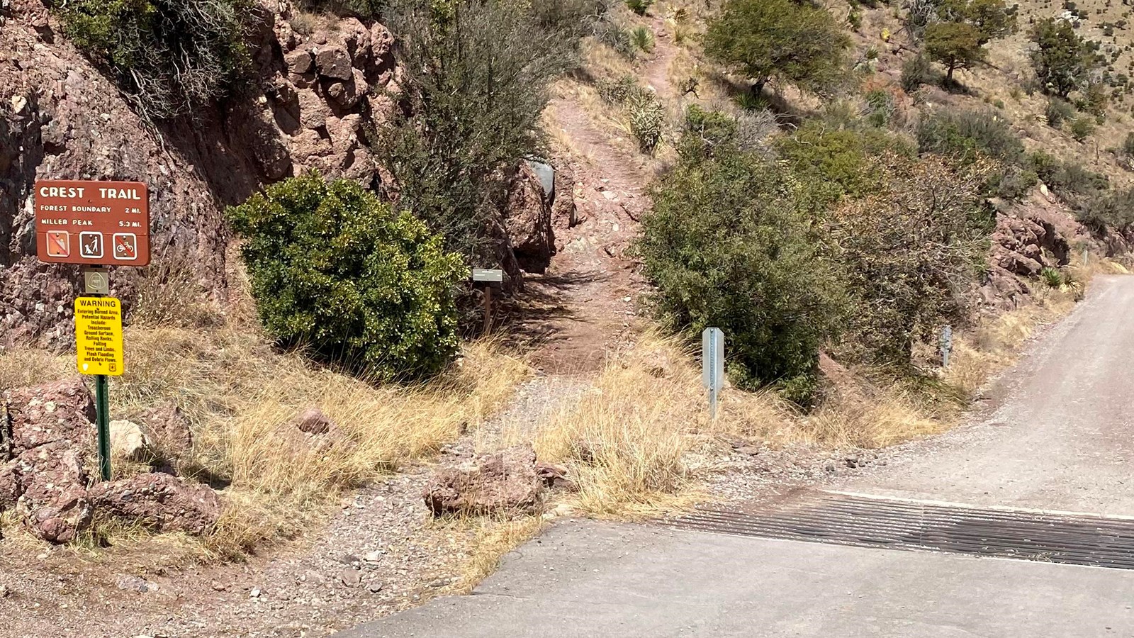
Crest Trail

NPS
Quick Facts
Amenities
2 listed
Scenic View/Photo Spot, Trailhead
Pets Allowed on Leash
Distance: 4 Miles Round-Trip Inside Park (10.6 Miles to Miller Peak)
Difficulty: Difficult
Elevation Change: 4000 feet to Miller Peak
The trailhead begins at the northeast end of Montezuma Pass parking area and climbs for 2 miles to the northwestern park boundary where it enters the Miller Peak Wilderness Area. It continues along the crest of the Huachuca Mountains to the turnoff for Miller Peak, the highest peak in the range. The Crest Trail is also part of the Arizona National Scenic Trail, an 800+ mile trail that extends from Mexico to Utah.
