Last updated: July 28, 2022
Place
Coyote's Fishnet

NPS
Historical/Interpretive Information/Exhibits, Parking - Auto
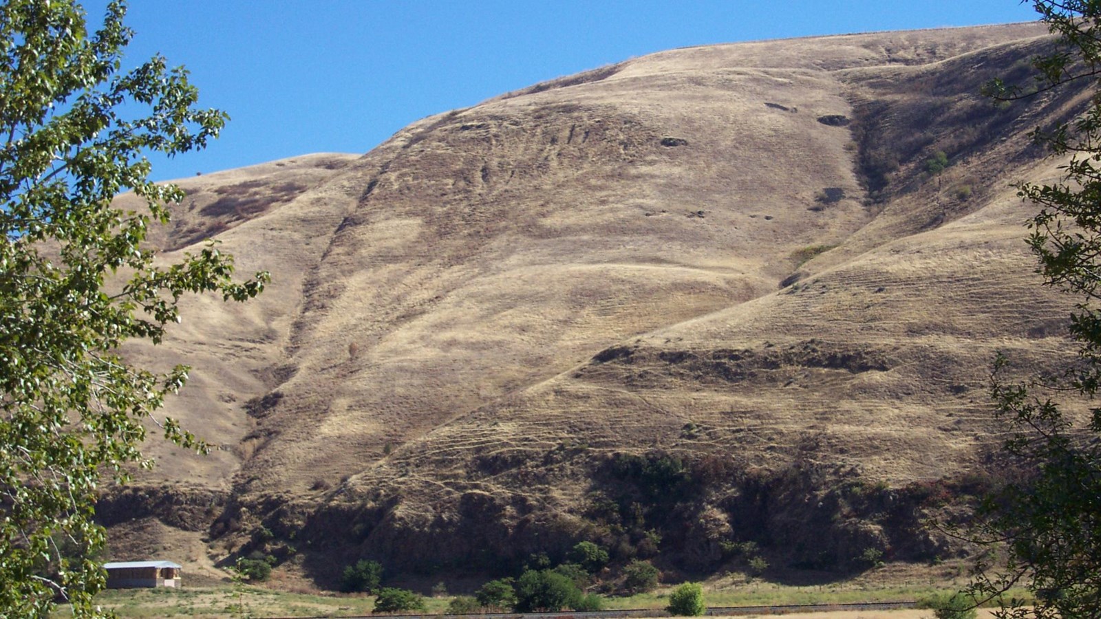
Coyote's Fishnet is a Nez Perce legend site consisting of two surface geological features on opposite sides of the Clearwater River about 7 miles east of Lewiston, Idaho. There are large interpretive signs at the pullout. One briefly tells the legend of Coyote's Fishnet.
The Story
In autumn, the people go to buffalo country to get food for the winter. Coyote (known as Iceye'ye to the nimíipuu) had forgotten about this annual trip and was in the Clearwater River fishing for salmon. Black Bear came upon Iceye'ye fishing and asked why he was still in the area instead of heading to buffalo country.
Iceye'ye did not want to admit that he had forgotten to leave with everyone else, so he got angry at Black Bear for being nosy. In his anger, Iceye'ye flung his fishnet up onto the hill on the south side of the Clearwater River and grabbed Black Bear by the scruff of his neck. He then yelled at Black Bear for interrupting him and threw him onto the hill on the north side of the river. Iceye'ye then left for buffalo country.
Getting to Coyote's Fishnet
Coyote's Fishnet sits on the hillside above the Clearwater River six miles east of Lewiston, Idaho. It is visible from a highway pullout on U.S. Highway 12. Coyote's Fishnet is an affiliated site of the Nez Perce National Historical Park that is located on private property. A historical marker at the highway pullout tells the story of Coyote's Fishnet, and provides a view of the rock formation that the fishnet turned into. Please respect the land owner's property rights and do not climb the hillside where the rock formation is located.
Driving to Coyote's Fishnet
From Highway 128 in Lewiston, Idaho, take U.S. Highway 12 E/ Route 95 six miles east. The highway pullout will be on your right.
From the Nez Perce National Historical Park's visitor center, take U.S. Route 95 five miles east. Turn right onto Nez Perce Road and continue for half a mile. Take a slight left to merge onto U.S. Highway 12 E/ Route 95 S and continue for half a mile. The highway pullout will be on the right.
From Ant and Yellowjacket, take U.S. Highway 12 W / Route 95 N west for 3.6 miles. Turn right on Nez Perce road and contine around the loop for .6 miles. Take a slight left onto U.S. Highway 12 E / Route 95 S. The highway pullout will be on the right.
