Last updated: February 7, 2021
Place
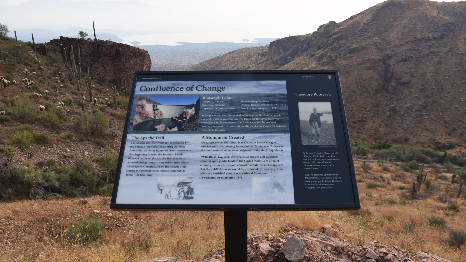
Confluence of Change Wayside

NPS Photo/ B Smith
Confluence of Change
(Image of concrete Roosevelt Lake Dam situated between Salt River Canyon.)
Roosevelt Lake
Length:22.4 miles
Maximum Depth:188 feet
Shoreline:128 miles
Original Dam Construction:1903-1911
Capacity:1,653,043 acre-feet
Dam Remodel completed:1996
As people moved west and settled in the Arizona Territory, a need for a reliable water source was evident. Theodore Roosevelt Dam was constructed at the confluence of the Salt River and Tonto Creek creating a reservoir that controls flooding and stores water for Arizona residents to this day.
The Apache Trail
The Apache Trail was originally constructed by the Bureau of Reclamation to bring materials from Mesa, AZ to the Roosevelt Dam construction site. Beginning in 1916, the Southern Pacific Railroad marketed the Apache Trail as a tourist automobile trip. Visitors were driven from Globe, AZ to Apache Junction, AZ on the Apache Trail. During the overnight trip, visitors explored the Tonto Cliff Dwellings.
A Monument Created
On December 19, 1907, President Theodore Roosevelt signed Proclamation 787, creating Tonto National Monument. Tonto was the ninth national monument designated under the Antiquities Act. "WHEREAS, two prehistoric ruins of ancient cliff dwellings situated upon public lands of the United States...are of great ethnological, scientific, and educational interest and it appears that the public interests would be promoted by reserving these relics of a vanished people as a National Monument..." (Presidential Proclamation 787)
Theodore Roosevelt
(Image of Theodore Roosevelt.)
By the time Theodore Roosevelt left office in 1909, he had created 55 national bird sanctuaries and wildlife refuges, 150 national forests, 18 national monuments, and 5 national parks.
In all, he protected approximately 230,000,000 acres of public land. By visiting your public lands, Theodore Roosevelt's vision continues to inspire new generations.
