Last updated: November 20, 2024
Place
Comet Falls & Van Trump Park Trailhead

NPS Photo
Scenic View/Photo Spot, Trailhead
Season: Summer Only (June - October)
The Comet Falls Trailhead can be reached year-round along the road to Paradise, but this trail can be very hazardous in winter with icy drop-offs and avalanche danger.
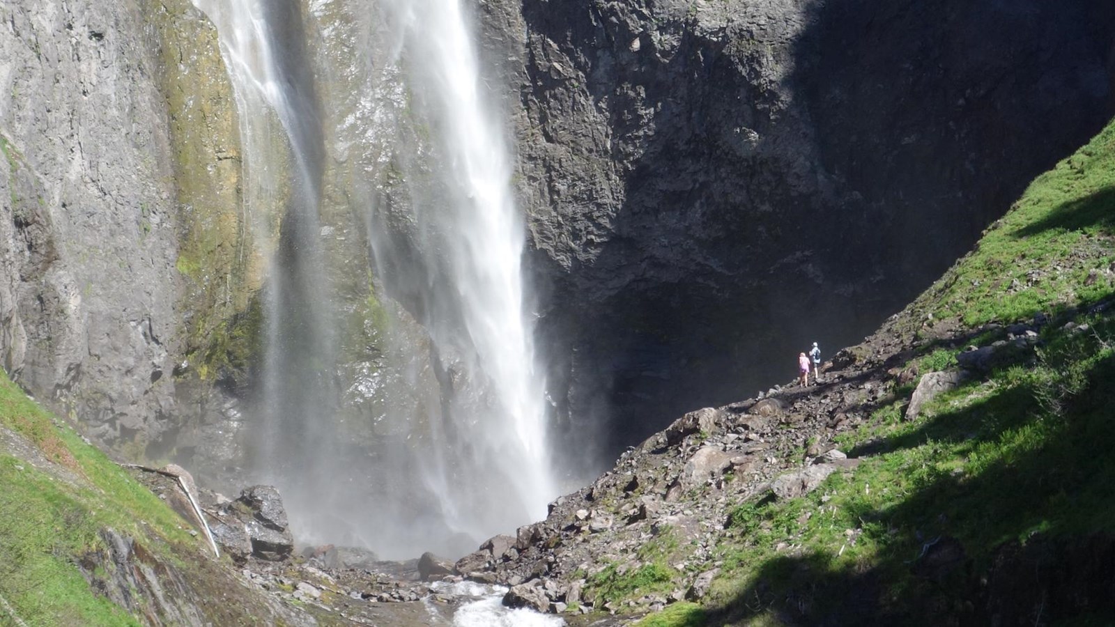
Plunging 320 feet, Comet Falls is one of the highest waterfalls in the park and a popular destination for many hikers. The trailhead is located four miles east of Longmire on the road to Paradise. Parking space is limited and often fills quickly. There is no additional parking nearby, so have an alternate hike in mind. The trail can be treacherous in spring, with ice and snow lingering well into June or July.
For 1.8 miles the dirt trail climbs steadily uphill, with sections of log steps. Just before reaching Comet Falls, the trail passes by Van Trump Falls, a tiered waterfall. Continue to reach the base of Comet Falls. Many hikers then return the same route back to the trailhead, but for a longer hike, the trail continues to Van Trump Park. Van Trump Park honors P. B. Van Trump who, with Hazard Stevens, was one of the first people to stand on the summit of Mount Rainier.
From Comet Falls the trail switchbacks 0.8 miles uphill to the junction with the Rampart Ridge Trail, which connects to the Wonderland Trail and Longmire. Approximately half a mile along the Rampart Ridge Trail is a 0.5-mile spur trail that climbs to Mildred Point. From the junction, a trail to Van Trump Park is to the right, climbing through subalpine meadows until the maintained trail ends in 0.5 miles. There is 900 feet of elevation gain to reach Comet Falls, and 2000 feet of total elevation gain to reach Van Trump Park. From Van Trump Park, Mount Adams and Mount St. Helens are visible to the south while the Kautz and Van Trump Glaciers dominate views of Mount Rainier to the north. Look for marmots, pikas, and goats on rocky open slopes.
Comet Falls & Van Trump Park Trail Map
Map centered on the Comet Falls Trail in the southwest corner of Mount Rainier National Park. The trail starts along the Paradise Road and climbs up to Comet Falls. Past the falls, the trail continues to climb, with spur trails to Van Trump Park and Mildred Point. The Comet Falls Trail then follows Rampart Ridge southwest to connect to the Wonderland Trail. Points of interest are marked by black symbols on the map. Several tools are represented by icons along the left side of the map. A ruler icon opens a tool to measure distance or area on the map. Clicking on plus or minus icons will zoom the view in/out, and clicking on a house icon will return the map to the original view centered on the Comet Falls & Van Trump Park Trail.
