Last updated: July 28, 2022
Place
Clearwater Battlefield

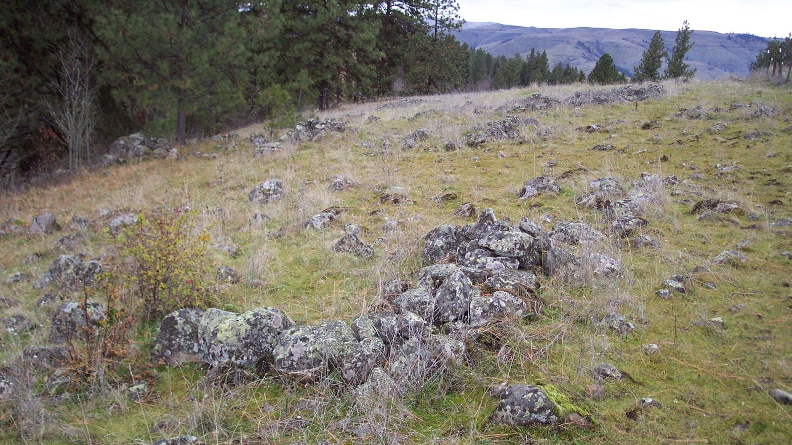
NPS Photo
Historical/Interpretive Information/Exhibits
In the weeks following the Battle at White Bird, General Oliver O. Howard pursued the Nez Perce across the Reservation. After crossing two rivers, the Salmon and the South fork of the Clearwater, the General caught up with them. On July 11, 1877, Howard crossed the South Fork of the Clearwater above the Nez Perce camp hoping to take it by surprise. Alert Nez Perce, however, foiled his plan and the first day's fighting came to a draw.
On July 12, Howard used infantry, cavalry, and artillery to gain the upper hand. In the face of this force, the Nez Perce began to slowly withdraw towards Kamiah. While Howard captured their camp and a great deal of supplies, he did not aggressively pursue the Nez Perce. They went north to Kamiah and began to head east, over the Lolo Trail to western Montana.
Directions to Clearwater Battlefield
From the Spalding Visitor Center, turn right onto U.S. Highway 95 to head north. After 1 mile, use the right lane to take the ramp to Orofino/Missoula on U.S. Highway 12 East. Continue on U.S. Highway 12 East for 63 miles. At the Kooskia, turn right onto Idaho 13 West for approximately 4 miles. On the left is a turnout with a historical marker designating Clearwater Battlefield.
Things to Do at Clearwater Battlefield
Explore the Site
The battlefield is on private property and is not accessible. There is a historical marker located on Highway 13 south of Stites, Idaho that tells the story of the battle.
