Last updated: August 20, 2021
Place
City of Rocks Loop - 6.8 miles
Quick Facts
Amenities
4 listed
Parking - Auto, Picnic Table, Scenic View/Photo Spot, Trailhead
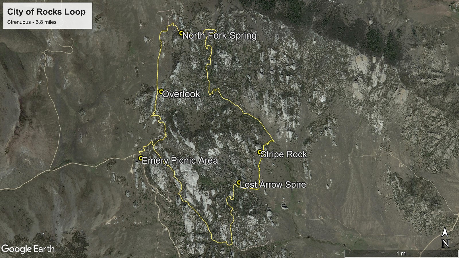
From sagebrush flats to high country groves, this trail takes you deep into the “City.” This remote loop hike is a ranger favorite. The combination of pine trees, rock formations, and epic views offer a surprise at every turn of the trail. The loop can be accessed from several trailheads along the main road. The Emery Creek Picnic area is a great starting point, the North Fork Circle Creek trailhead is located across the road from the parking area. About 1 mile in check out the spectacular view from the overlook (near the gate). Shortly after beginning the descent down toward North Creek you will come across North Fork Spring. As you make your way down toward the basin, watch for the trail to cut back right (west) along the base of the impressive Stripe Rock formation. Continue past Lost Arrow Spire on the Bumblie Trail, then join South Fork Circle Creek Trail heading back up to complete the loop. North Fork Circle Creek and South Fork Circle Creek are abbreviated on many trail signs as N.F.C.C and S.F.C.C.
This trail is narrow and steep in places over uneven terrain.