Last updated: October 19, 2020
Place
Chisana

NPS
Historical/Interpretive Information/Exhibits, Information Kiosk/Bulletin Board, Scenic View/Photo Spot, Trailhead
Chisana (pronounced shoo-shana), also known as Shushana, Chathanda City and Johnson City.
Listed as Chisana Mining District on the National Register of Historic Places in 1985 and renamed Chisana Historic Mining Landscape in 1998.
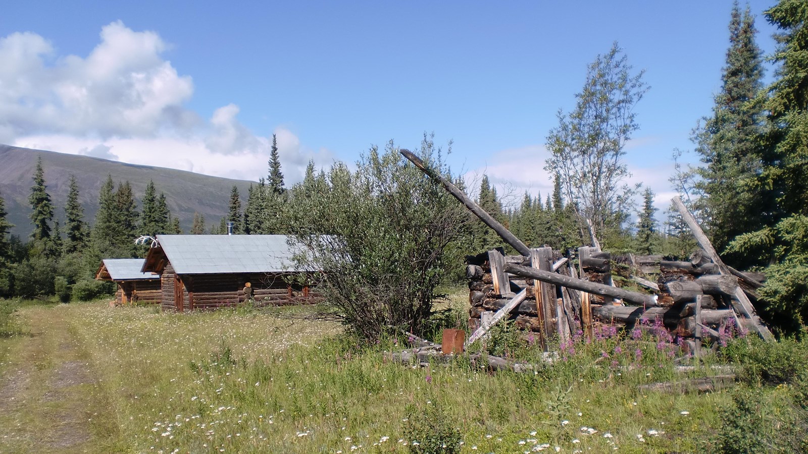
Nestled in a remote valley between the Nutzotin and Wrangell Mountains, half-way between Nabesna and McCarthy, the Chisana mining district provides visitors with a unique glimpse of Alaska's gold rush era. Unlike many better known and more accessible regions, this area retains extensive evidence of its early mining use, including the deteriorating remains of two towns; numerous tent camps, various water diversion and delivery systems; a full range of hand, hydraulic, and mechanical mining operations; and a well-developed transportation network.
The scene of Alaska’s last important gold rush in 1913, the Chisana district played a key role in the history of interior Alaska. While few struck it rich, the resulting demand for materials and supplies helped establish regional transportation networks, encouraged supporting industries, and hastened the exploration and settlement of both the Copper and Tanana Basins. The Chisana district was particularly significant from 1913 to 1915, the period encompassing its discovery, stampede, and boom. Chisana became known as "the largest log cabin town in the world." It remained important through 1942, when war-time exigencies virtually ended local mining.
Today, Chisana enjoys a seasonal population of about twenty-five. A few persistent placer miners continue to work the district's creeks. The spiritual heirs of the stampeders, they continue their predecessor's quest, ever searching for that one rich strike. There are bed and breakfasts and guide/outfitters in this area that is accessible only by small aircraft. Some adventurous hikers retrace the steps of the early stampeders and make the trek from Chisana to McCarthy. This is a difficult route and should only be attempted by experienced backcountry travelers or with an outfitter guide..
As you hike around Chisana you will see ruins of structures and historic artifacts throughout the area. For its protection and to keep its historical integrity, it is unlawful and prohibited to remove or relocate anything. Debris and artifacts provide important clues to the story of the people who followed the lure of gold to Chisana. Many of the historic structures are located on private property. Public easements are marked, so please respect private property while at the site. The National Park Service has restored four log buildings in the original townsite, the Woman's Jail and three residential cabins. The primative Too Much Johnson Cabin is available for public use on a first-come, first-served basis.
Latitude: 62.06789779663086 Longitude: -141.99009704589844
