Last updated: February 9, 2026
Place
Chenuis Falls Trailhead

NPS Photo
Bicycle - Rack, Picnic Table, Restroom
NOTE: Until further notice, there is NO access to Carbon River & Mowich Lake via SR165 due to the closure of the SR165 Carbon River Fairfax Bridge outside of the park. The bridge is closed to vehicles, bicyclists, and pedestrians and there is no alternate route: Fairfax Bridge Closure FAQs.
Season: Year-round
Carbon River Trail is accessible year-round, but be prepared to navigate around road and trail washouts. Winter conditions may have washed out the log bridge. Do not attempt to cross the river if the log bridge is not in place.
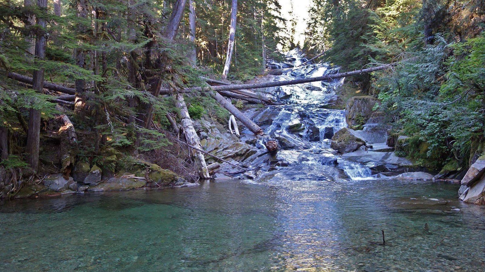
The Chenuis Falls Trail is 7.4 miles round trip and begins at the Carbon River Entrance. The Chenuis Falls Trailhead is along the road on the left, 3.5 miles after the entrance. Visitors can walk or bike to the junction from the entrance. Finish the hike to the falls by walking across the rocky riverbed of the Carbon River and cross the log bridge. Continue following the trail, which may be marked by cairns (rock stacks), until you reach the falls. The trail climbs up beyond the falls to get a view from above. The falls are 0.2 mile from the Carbon River Trail (former road).The Carbon River is fed from the Carbon Glacier, which is the deepest and longest glacier in the lower 48 States.
A bike rack is available for cyclists to lock their bikes while hiking to Chenuis Falls. Bicycles are only permitted on the old Carbon River Trail (former road) and may not be ridden on hiking trails. Pets are not allowed.
Hiking
The Carbon River Trail (former road) has numerous hiking trails along the way. Heading towards Green Lake, stop for a walk on the Old Mine Trail, about a mile past the entrance on the right. Hikers can also venture to the Green Lake Trailhead, 0.1 mile before the Chenuis Falls Trailhead on the opposite side of the Carbon River Trail.
