Last updated: December 13, 2022
Place
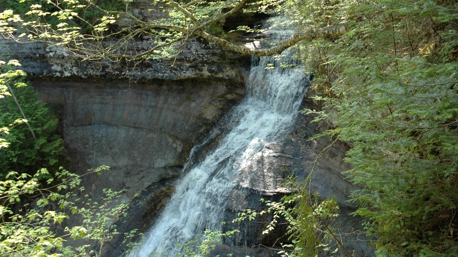
Chapel Falls
NPS photo
Quick Facts
Location:
The Chapel Falls trailhead is about 20 miles northeast of Munising
Amenities
6 listed
Parking - Auto, Recycling, Restroom - Seasonal, Scenic View/Photo Spot, Toilet - Vault/Composting, Trash/Litter Receptacles
Chapel Falls is one of the more remote park waterfalls, located about 15 miles east of Munising off Alger County Road H-58, then 5 miles north to the end of Chapel Road. From the trailhead parking lot, walk 1.2 miles on the Chapel trail to view the 60-foot high Chapel Falls as it cascades towards Chapel Lake. See the Chapel area map (pdf) for details.
Note: Chapel Road is a rough, backcountry road that sees heavy congestion in summer and early fall. The trailhead parking lot fills up quickly, often by 9 am.
The trail is on an old roadbed through an upland maple forest with several small hills. Two viewing platforms along the way provide views of the scenic Chapel Basin. After Chapel Falls, the trail continues another 1.8 miles to Chapel Rock and Lake Superior.
Pets are prohibited on all trails in the Chapel area. There is a seasonal vault toilet at the trailhead. There is no drinking water available.