Last updated: November 27, 2020
Place
Celilo Falls Portage
Quick Facts
MANAGED BY:
Lewis and Clark NHT Visitor Centers and Museums
This map shows a range of features associated with the Lewis and Clark National Historic Trail, which commemorates the 1803-1806 Lewis and Clark Expedition. The trail spans a large portion of the North American continent, from the Ohio River in Pittsburgh, Pennsylvania, to the mouth of the Columbia River in Oregon and Washington. The trail is comprised of the historic route of the Lewis and Clark Expedition, an auto tour route, high potential historic sites (shown in black), visitor centers (shown in orange), and pivotal places (shown in green). These features can be selected on the map to reveal additional information. Also shown is a base map displaying state boundaries, cities, rivers, and highways. The map conveys how a significant area of the North American continent was traversed by the Lewis and Clark Expedition and indicates the many places where visitors can learn about their journey and experience the landscape through which they traveled.
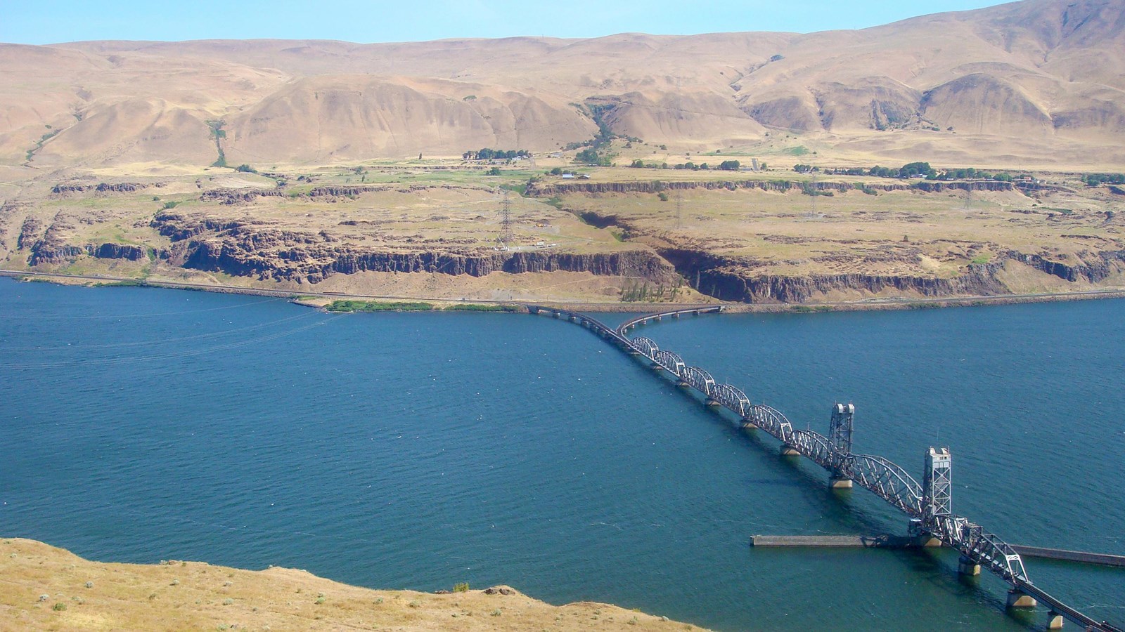
On October 22, 1805, the expedition reached Celilo Falls, where the river “divided into Several narrow chanels which pass through a hard black rock forming Islands of rocks at this Stage of the water, on those Islands of rocks [were] great numbers of Stacks of pounded Salmon.” A social and commercial locus for tribes along the Columbia River, Celilo Falls also presented a defacto boundary between Shahaptian languages (extending eastward to the Rocky Mountains) and Chinookan languages (extending westward to the Pacific Ocean). There were 17 lodges above the falls and five more below. Lewis and Clark determined a portage route “on the Stard. Side, and the distance 1200 yards one third of the way on a rock, about 200 yards over a loose Sand collected in a hollar blown by the winds from the bottoms below which was disagreeable to pass, as it was Steep and loose.” They received a great deal of assistance from the villagers, including the use of their horses. The Corps camped two nights on the north bank below the falls, “close under a high range of clifts of rocks, where the body of the River beat against it and formed a verry large eddy.” The return portage was made on April 21, 1806.
Over the years, Celilo Falls has been impacted by infrastructure developments such as a canal, railroad bridge, transmission lines, and inundation from the Dalles Dam. Even so, the portage route on the Washington side of the river remains intact and above water. On-site access is restricted, but nearby Celilo Park provides public viewing and interpretation of the area from the Oregon side of the river.