Last updated: March 29, 2022
Place
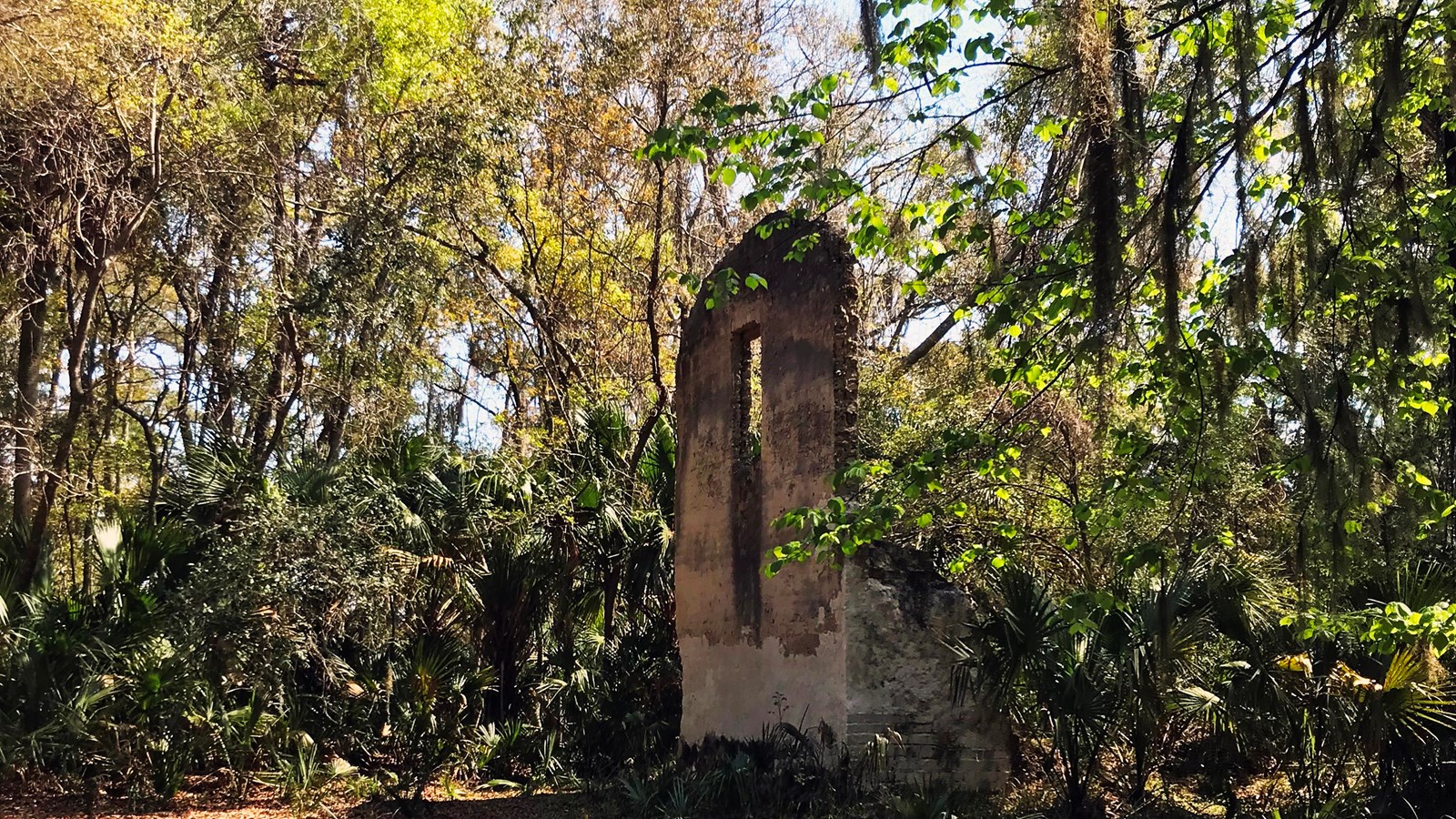
Cedar Point Plantation Ruins

NPS Photo
Historical/Interpretive Information/Exhibits, Tactile Exhibit
A Fragile Past
The ruined walls found along the Cedar Point hiking trails once anchored a plantation whose owners supplied salt to the Confederacy during the Civil War. Enslaved people farmed and hunted the land, tended the household, and boiled tons of salt from seawater. Follow the markers on the blue trail to visit the site today, but keep your distance, the ruins are fragile and could collapse. Stay behind the marked area and enjoy the posted exhibits.
Though it seems remote today, Cedar Point was heavily farmed as early as 1783, when the King of Spain granted it to the Samuel Mills family. The Fitzpatrick family acquired it in 1795 and started salt operations, followed by the Browards around 1848. Due to the rich surrounding salt marsh, the land’s heritage of sustaining coastal people goes back thousands of years.
Archaeologists are systematically searching the area to find artifacts that evoke the daily lives of enslaved people who toiled on coastal plantations. At least fifteen skilled workers, held as slaves, constructed the plantation's main house, kitchen house, and outbuildings of tabby, a concrete like mixture made of oyster shells. Our understanding of the site is fairly limited, but by using thorough investigative and preservation practices we can bring its story back into the light.
Once visible from the St. Johns River, the plantation owners house and outbuildings were shelled during the Civil War.
These ruins are a great example of how we can reconstruct our understanding of the past through historic research and archaeological investigation.
