Last updated: June 6, 2025
Place
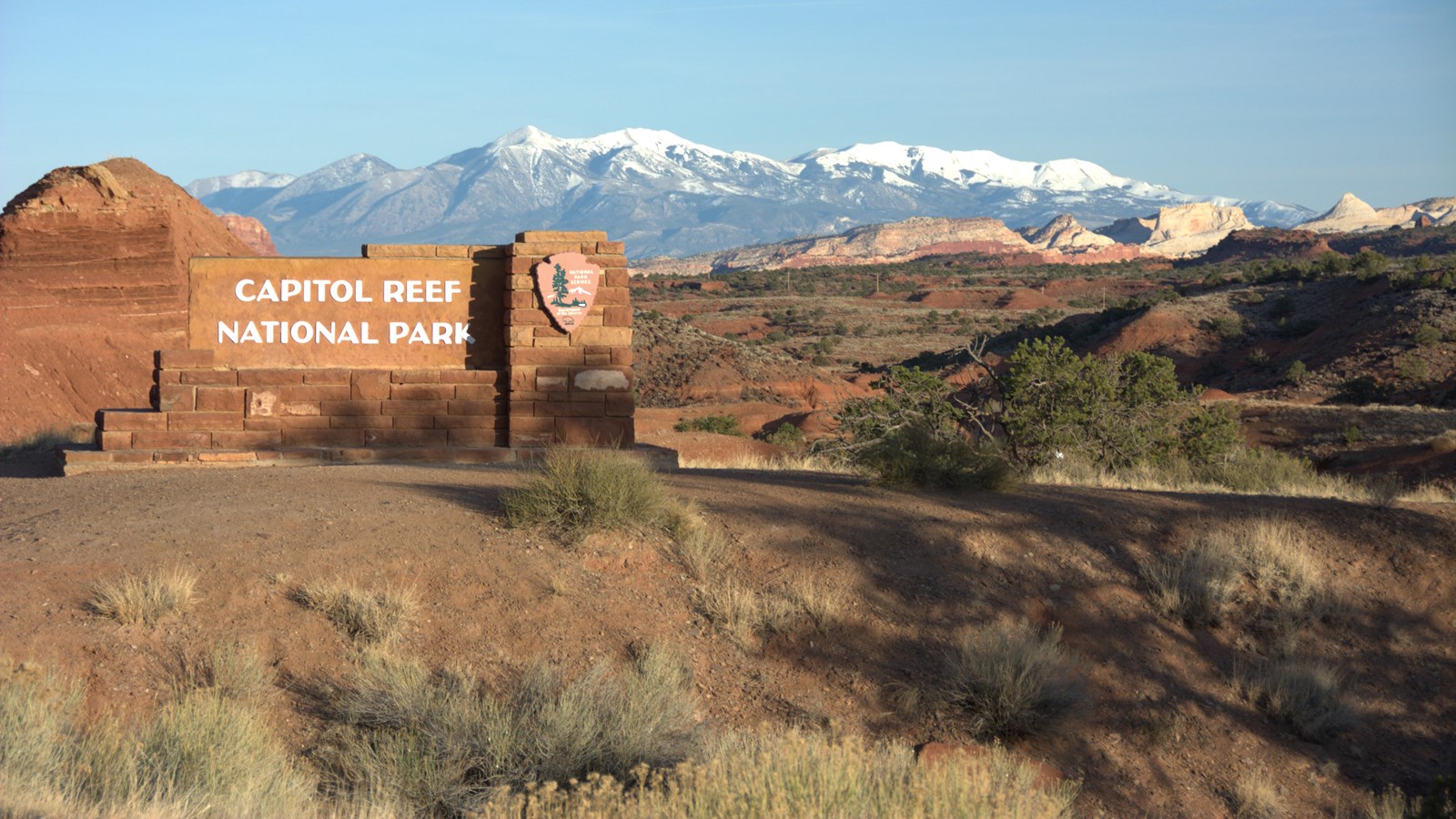
Capitol Reef West Entrance Pulloff
NPS / Christ Roundtree
This is the westernmost stop of the Utah Highway 24 self-guided audio tour. You find yourself at the western border of Capitol Reef National Park. From here, the road travels directly across the park for 15 miles (24 km) before crossing its eastern border. The park is relatively narrow—only 12 miles (19.3 km) wide east-to-west at this point—but it is nearly 75 miles (120.7 km) long north-to-south. Your current elevation is around 6,400 ft (1,950 m). The highway descends to Fruita, which sits at around 5,400 ft (1,650 m).
To the east, Chimney Rock is visible. To the southeast is a glimpse of the yellow-white domes capping the Waterpocket Fold. The Henry Mountains, sometimes snowcapped, are farther behind. The Henry Mountains began as underground pockets of magma that swelled under the crust like pimples. The magma cooled and solidified without erupting. Erosion of the rock layers above exposed the tough igneous rocks, mostly a kind called diorite. A similar process formed Half Dome and the other gray peaks of Yosemite National Park.
Capitol Reef also represents indigenous cultural landscapes. This area is part of the ancestral and current homelands of at least thirty-two Native American tribes and pueblos. These include the Hopi Tribe; the Pueblo of Zuni; Ute Tribes; bands of the Paiute Indian Tribe of Utah; the Southern Paiute; and the Navajo Nation. The oral traditions of several tribes tell us that people have lived in this area continuously for several thousand years. The entire landscape has been their home. While we draw borders on maps to show where certain places begin and end, many natives view land as more interconnected. All the pieces of the public lands puzzle are connected to each other, and to the people. What connection will you make with the park?