Last updated: June 8, 2025
Place
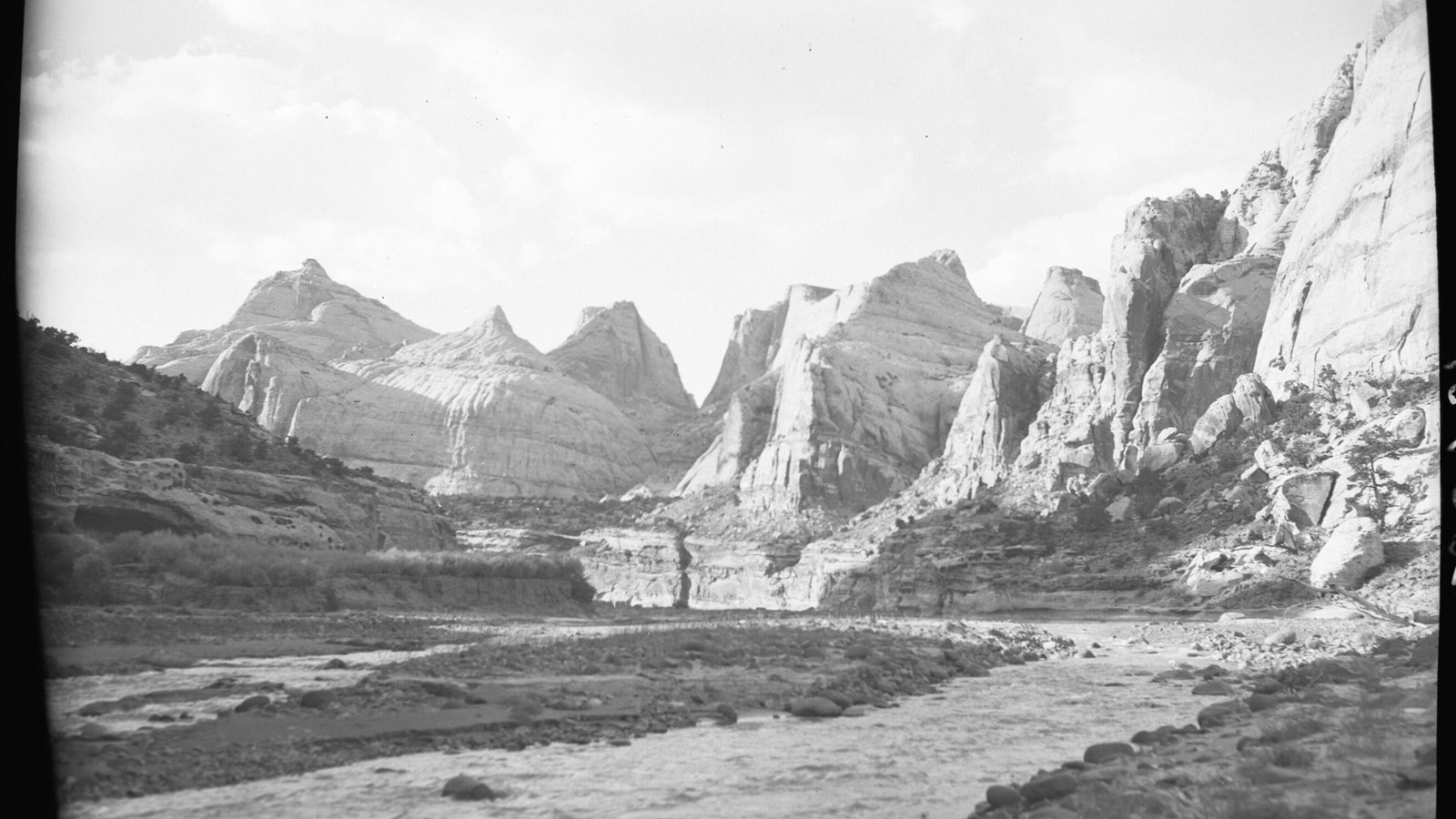
Capitol Reef East Entrance Wayside
NPS / Natt N. Dodge and Russell K. Grater
This is the easternmost stop of the Utah Highway 24 self-guided audio tour. You find yourself at the eastern border of Capitol Reef National Park. From here, the road travels directly across the park for 15 miles (24 km) before crossing its western border. The park is relatively narrow—only 12 miles (19.3 km) wide east-to-west at this point—but it is nearly 75 miles (120.7 km) long north-to-south.
To the east, the road crosses areas stewarded by the Bureau of Land Management. The Factory Butte Special Recreation Management Area is to the north. The Mt. Ellen-Blue Hills Wilderness Study Area is to the south. The soft, sloping gray badlands are mostly formed of the marine sediments of the Mancos Shale. This is the thickest layer of rock exposed in the park, at about 2,000 feet (609 meters) thick.
Lined along the road from here to Hanksville are the ghosts of several settler towns. These cropped up along the river more than a century ago, as western colonists spread into the area. These include Aldridge, Clifton, Elephant, and Giles. They have mostly passed from modern maps and minds, their ends brought about long ago by slow depopulation or rapid destruction by floods. A few of these towns persist on the map, like Hanksville, Caineville, and Fruita—the historical legacy of the latter encased within the boundaries of Capitol Reef like a fossil in amber.