Last updated: October 10, 2025
Place
Cades Cove Overlook

NPS Photo/S. Wilcer
Historical/Interpretive Information/Exhibits, Scenic View/Photo Spot
Human history in Cades Cove started long before the 1800s. Humans have been using the land in this area for thousands of years. The earliest artifact collected in the park is a lithic dated to 7000 BCE. Though they may not have built structures in Cades Cove that are present today, the impact of the Cherokee is felt throughout the cove. Many trails created by the Cherokee are still traveled by visitors hiking or driving today. One of these trails is now Rich Mountain Road which connected the cove to the Tuckaleechee area. Many settlers followed in the Cherokees’ footsteps and used this route and others to reach Cades Cove. The Cherokee, like settlers after them, cut logs for structures and fires. They cleared land for agriculture, and they hunted, foraged, and traded or bought what they didn’t grow themselves. In the early 1810-1820s, Sequoyah developed the Cherokee syllabary, a written version of the Cherokee language.
The Cherokee name for Cades Cove is Tsiyahi, “Otter Place.” Otters were found throughout the many creeks and streams in the cove, but they were extirpated from this area in the 1920s, after being hunted and trapped for their valuable pelts. The park reintroduced them in the 1980s and they have made a remarkable comeback. Today they are often seen near Abrams Falls. The name “Abrams” stems from Cherokee Chief Abram or Abraham, known as Ooskuah to the Cherokee. The origin of the name “Cade” also likely came from Cherokee Chief Cade (or Kade) from this area. A “cove” is a flat valley between mountains or ridges.
Most of the Cherokee living in the Southeastern United States were forcibly removed starting with the Indian Removal Act in 1830 which offered territory in Oklahoma in exchange for land in this region. In 1835 the Treaty of New Echota ceded most of the Cherokee lands east of the Mississippi to the federal government. These actions resulted in the “Trail of Tears” in 1938, where 16,000 Cherokee were forced to walk 1,200 miles west. Thousands died in the process. The Eastern Band of the Cherokee who live on the Qualla Boundary adjacent to the park today are the descendants of the few who remained, escaped, or those who returned. A visit to Cherokee, North Carolina offers visitors an opportunity to learn more about Cherokee history and culture.
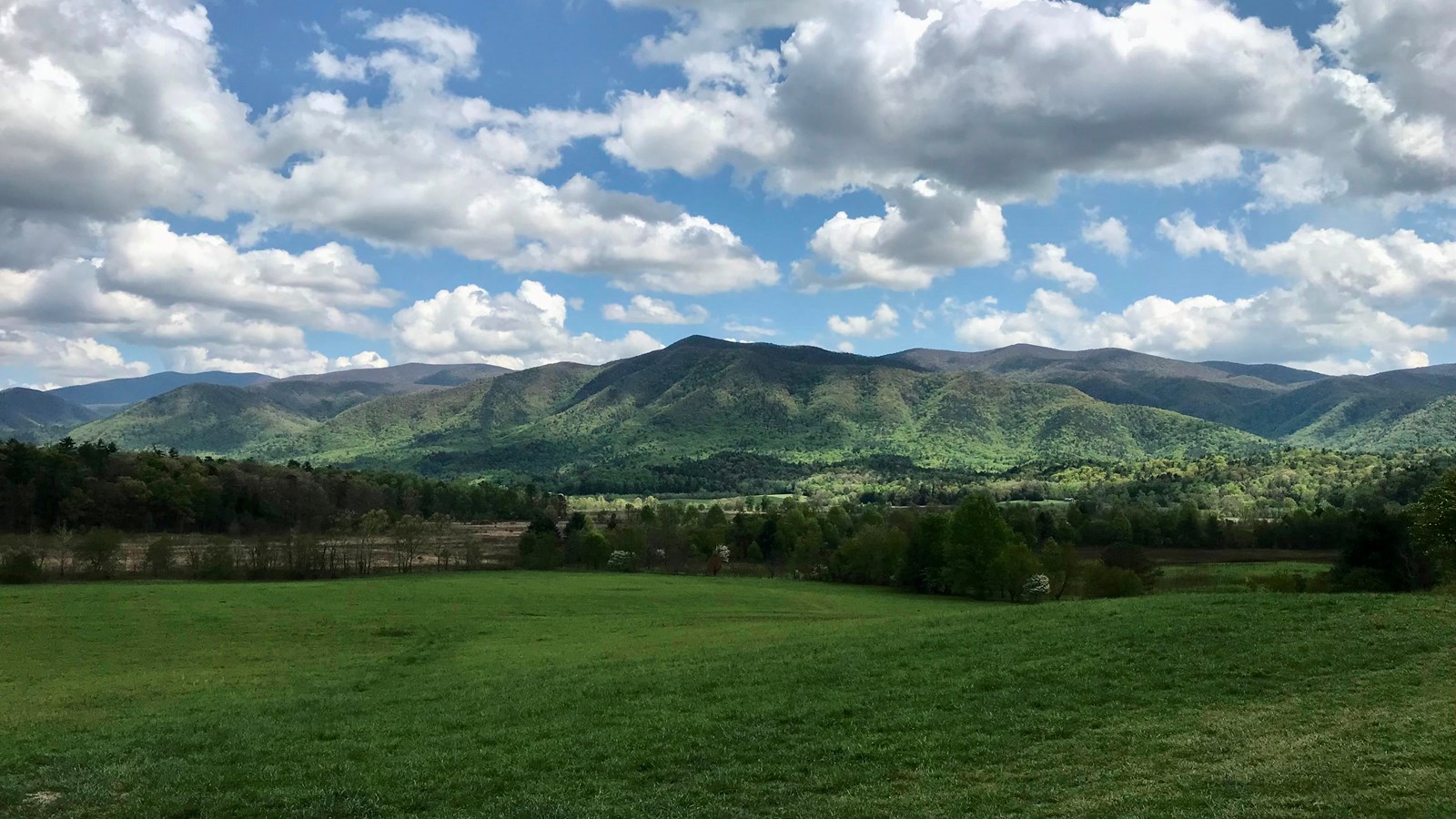
Typically, when a national park or protected area is created, many spaces that people lived in and used are returned to nature. In Cades Cove, this idea is blended with historic preservation. Cades Cove has far fewer buildings than it did at peak settlement around 1900 with over 700 residents. Instead of agricultural fields, today there are grasses and native plants. The cove is actively managed using mowing and prescribed fire to keep trees and woody shrubs at bay. If the cove wasn’t managed this way, it would revert to forest in most areas and look very similar to the woods found throughout the park.
