Last updated: March 25, 2026
Place
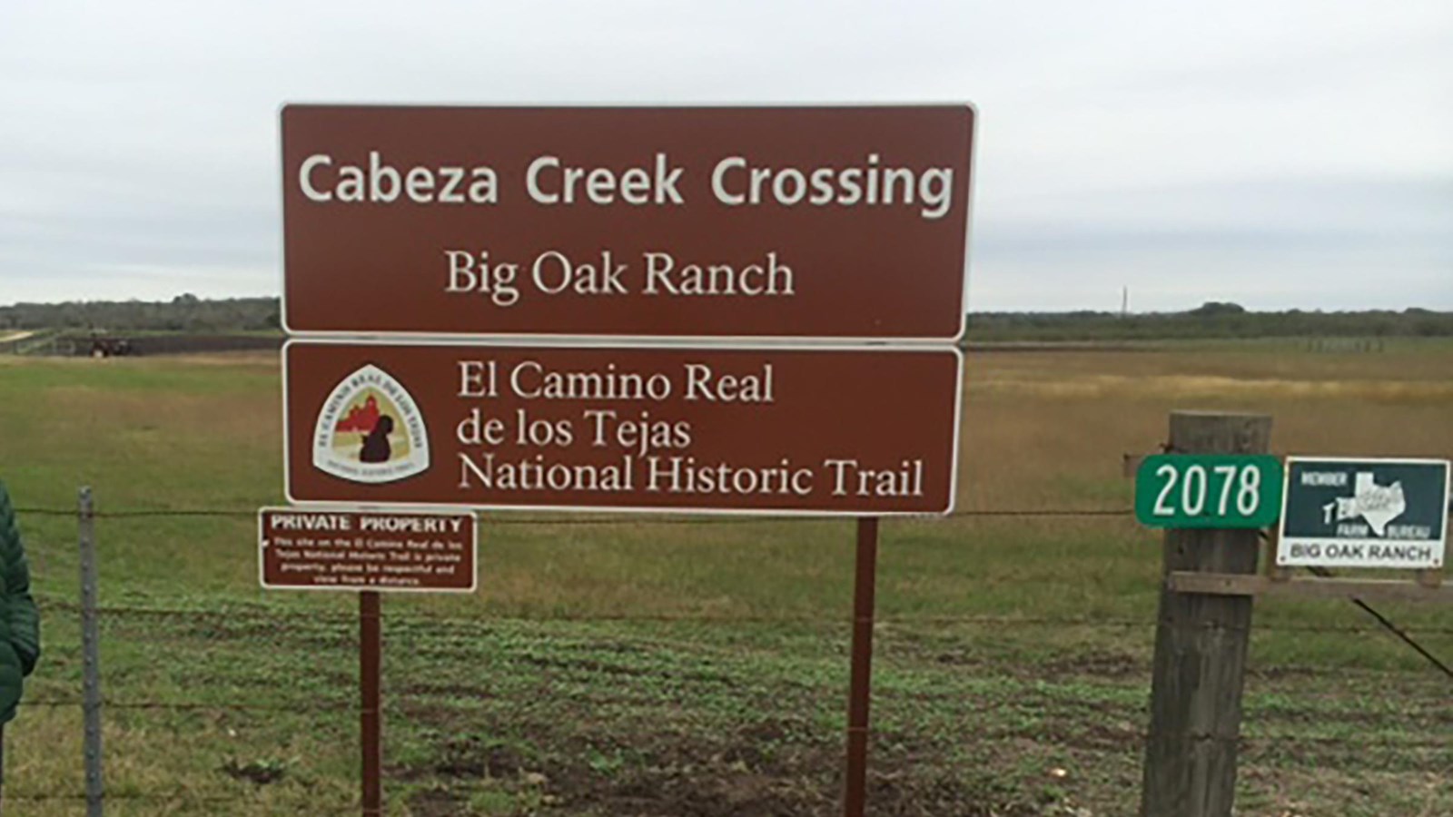
Cabeza Creek Crossing
NPS Photo
Quick Facts
Location:
Five miles west of Goliad, Texas.
Significance:
Cabeza Creek Crossing was an important link in Spanish and American Indian transportation networks.
Designation:
Certified Partner; part of a National Historic District; significant site on the national historic trail.
OPEN TO PUBLIC:
No
MANAGED BY:
Private; not open to the public
Amenities
1 listed
Historical/Interpretive Information/Exhibits
Cabeza Creek Crossing, a gravel bar five miles west of Goliad, facilitated the movement of people and goods along El Camino Real de los Tejas. Cabeza Creek is a forty-mile-long tributary of the San Antonio River surrounded on both sides by mostly flat land. Today, the site is privately owned and traffic over the creek has shifted. Yet the crossing remains a witness to generations of people traversing the landscape for trade, immigration, diplomacy, and war.
Archeological evidence indicates that Indigenous peoples used the crossing for thousands of years.[1] As the Spanish presence in Texas increased, settlers utilized Indigenous trails to travel between communities, ultimately stitching these routes together to form El Camino Real. When Presidio La Bahía and Mission Espíritu Santo relocated nearby in 1749, traffic at the crossing increased.[2] The crossing shows up on several maps and documents from the 1700s and 1800s, including those made by Captain Manuel Ramírez de la Piscina, Governor Domingo Cabello y Robles, and Stephen F. Austin.[3] Swales—depressions in the ground formed by the movement of wagons and pack animals—exist on both sides of the creek, evidence of its heavy use.[4]
The land around the crossing also attracted the interest of ranchers and land speculators. In the 1820s and 1830s, Rafael Antonio Manchola, a rancher, merchant, and Mexican government official, owned the crossing and the land around it.[5] Manchola, a Tejano ally of Stephen Austin, served in the state legislature where he advocated secularizing Texas’s missions and increasing immigration from the United States.[6] He died in 1833 from cholera, leaving his family with substantial landholdings.[7] In the aftermath of the Texas Revolution, growing racism against Tejanos ultimately forced the family to give up their lands and move to Mexico.[8] Later owners of the property continued to use it for ranching.
Following the tenure of Manchola, the crossing continued to be used by people traveling along the camino, including many German immigrants who had traveled to Texas for economic opportunity.[9] As with the rest of El Camino Real, the growth of railroads throughout Texas after 1850 caused traffic at the crossing to decline.[10] By the end of the century, with the possible exception of local ranch workers and their cattle, the ford was no longer in use. Today, Cabeza Creek Crossing is located on private property and not accessible to the public. A Texas State Historical Marker located at the edge of the property tells the story of the crossing and its role in supporting travel along El Camino Real.[11]
Site Information
Location (Five miles west of Goliad, Texas)
This creek crossing, which shows some ruts from wagon usage over the years, is located on a private ranch, several miles from the nearest public road. It is not open to general public visitation.
More site information
El Camino Real de los Tejas National Historic Trail
[1] National Park Service, El Camino Real de los Tejas National Historic Trail: Draft Comprehensive Management Plan/Environmental Assessment, (Sante Fe, NM: NPS, 2010), 163, 177.
[2] “Cabeza Creek Crossing on the La Bahia-Bexar Road,” Texas Historical Markers, accessed on November 1, 2024, https://texashistoricalmarkers.weebly.com/cabeza-creek-crossing-on-the-la-bahia-bexar-road.html.
[3] Ibid.
[4] NPS, El Camino Real de los Tejas, pg. 163.
[5] “Cabeza Creek Crossing on the La-Bahia-Bexar Road.”
[6] Craig H. Roell, “Manchola Rafael Antonio,” Texas State Historical Association, accessed on November 1, 2024, https://www.tshaonline.org/handbook/entries/manchola-rafael-antonio.
[7] Ibid.
[8] Ibid.
[9] “Cabeza Creek Crossing on the La-Bahia-Bexar Road.”
[10] Ibid.
[11] “Cabeza Creek Crossing,” National Park Service, updated January 12, 2023, https://www.nps.gov/places/cabeza-creek-crossing.htm.