Last updated: July 28, 2022
Place
Buffalo Eddy

NPS
Beach/Water Access, Historical/Interpretive Information/Exhibits, Parking - Auto, Trailhead
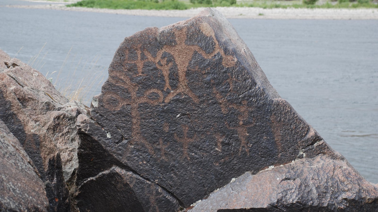
Long before Europeans or Americans first set foot in this country, the Nez Perce left behind vivid evidence of their association with this land. On either side of an eddy formed by a series of sharp bends in the Snake River, are densely grouped clusters of petroglyphs and pictographs. Known as Buffalo Eddy, the unique petroglyphs contain hundreds of distinct images that possibly date from as early as 4,500 years ago.
Clusters of petroglyphs and a few pictographs on either side of the Snake River 20 miles south of Lewiston, Idaho. The Asotin County side is accessible by car; the rock art on the Idaho side is only accessible by boat. There is a short trail from the highway pullout to the rock art on the Idaho side.
Getting to Buffalo Eddy
Buffalo Eddy is 18 miles south of Asotin, Washington on Snake River Road.
Driving to Buffalo Eddy
From Lewiston, ID follow U.S. Highway 12 and cross the blue bridge across the Snake River. At the first intersection veer to the left onto State Highway 129, following the signs to Asotin, WA. State Highway 129 heads south, along the bank of the Snake River. Continue following the river along County Road 209/Snake River Road. Travel approximately 15 miles and the turn out for the trail head will be on the left side.
Taking a Boat to Buffalo Eddy
The petroglyphs on the Idaho side are only accessible by boat. There are various Snake River outfitters that can be contacted for additional information on river boat tours.
Things to Do at Buffalo Eddy
Explore the Site
This site consists of two groups of rock outcroppings with several petroglyphs on both sides of the Snake River. One side is in Washington and one side is in Idaho, approximately 20 miles south of Lewiston, Idaho. On the Washington side near Asotin, there is a small hiking trail that has interpretive signs that explain more about the Nez Perce people and the petroglyphs seen here.
