Last updated: October 3, 2024
Place
Bridge of the Americas

NPS Employee Gina Hernandez
Quick Facts
Location:
U.S.- Mexico border- El Paso, Texas
Significance:
International port of entry
MANAGED BY:
U.S. Customs and Border Protection
Amenities
1 listed
Wheelchair Accessible
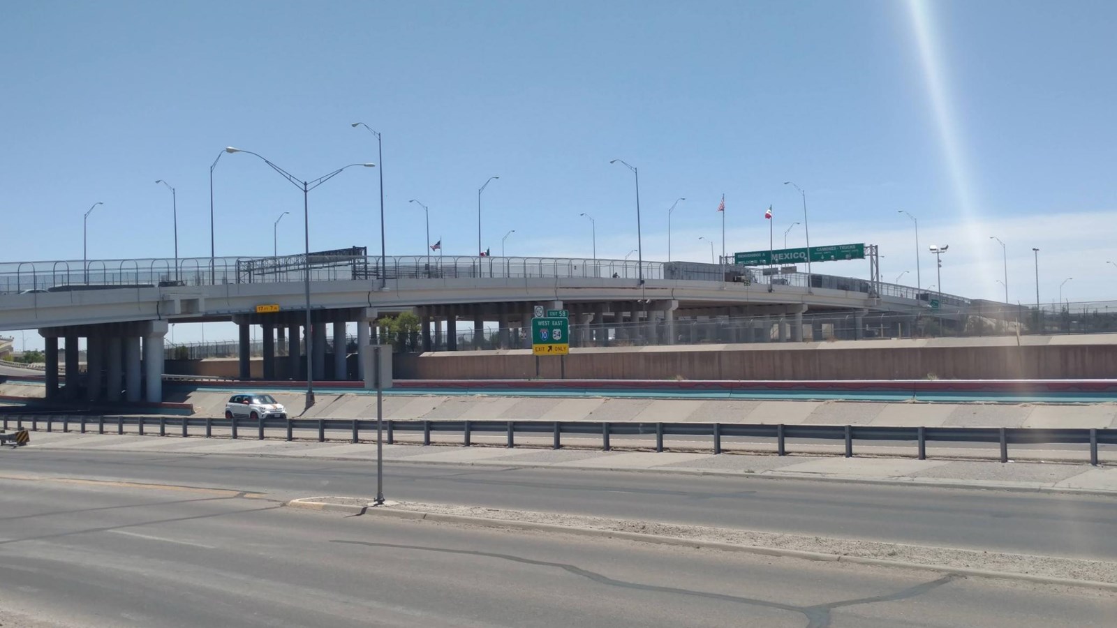
If you sit at Chamizal’s most eastern bench, you will find yourself looking on to the buzz of vehicles and pedestrians crossing over from the United Staes and Mexico. Perhaps you have crossed to and from Juarez, giving yourself the chance to walk over the Rio Grande and land that was exchanged between the two countries, or maybe you’ve had a close call moment, almost taking the wrong exit off Interstate 10 to Ciudad Juarez, Mexico. Regardless the experience, you are looking for a portion of the result of the Chamizal Treaty. The use of the land to have a toll-free bridge that would stretch into Ciudad Juarez, Mexico to connect the bi-national community.
The Bridge of the Americas, locally, known as Puente Libre, was established as the toll-free bridge due to its geography, on Cordova Island, that was part of the land exchange in the Chamizal Treaty of 1967. Prior to being known as The Bridge of the Americas, the Cordova Bridge, served the community and has evolved over the years. From the bridge’s construction in 1942 as a wooden linking bridge, to a remodeling in 1949, to the 1967-1998 modernized bridge that you see today. There are 4 lanes for vehicular traffic, 2 lanes for trailer trucks, and a pedestrian walkway that are managed by U.S Customs and Border Protection.
Atop of the bridge is where President Lyndon B Johnson and Presidente Diaz Ordaz stood to shake hand and welcome the flow of the Rio Grande into the newly constructed concrete President Adolfo Lopez Mateos Channel. The handshake that took place after solidified the values of Chamizal National Memorial of having goodwill through conflict and resolution.
