



Last updated: September 16, 2026
Place
Bob Kerrey Pedestrian Bridge
NPS
Quick Facts
Location:
Omaha, NE and Council Bluffs, IA
Significance:
Longest pedestrian bridge linking two states
MANAGED BY:
Cities of Omaha, NE and Council Bluffs, IA
Amenities
5 listed
Benches/Seating, Bicycle - Rack, Bicycle - Sharing Station, Pets Allowed, Wheelchair Accessible
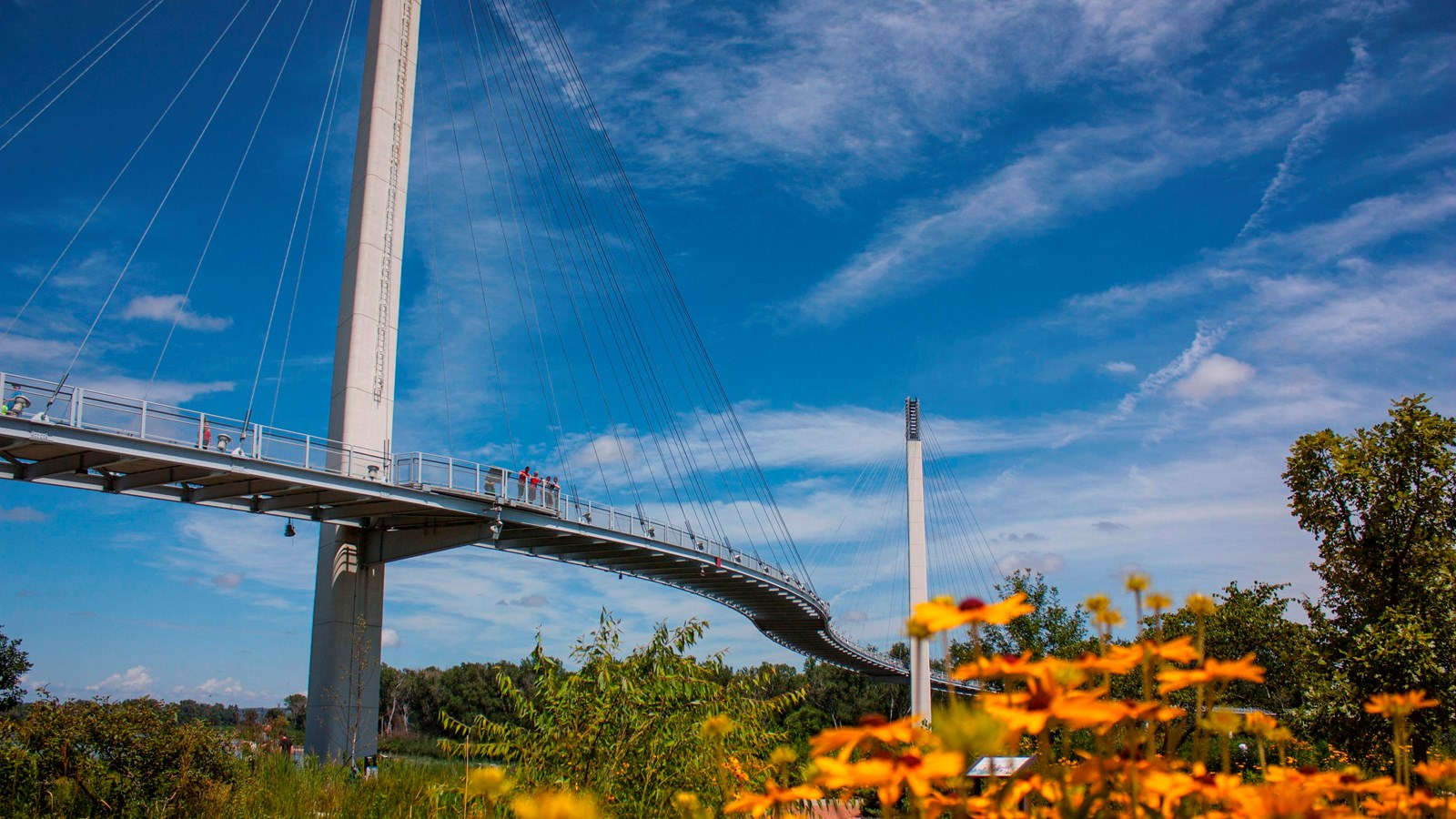
The longest river in the nation is spanned by the longest pedestrian bridge to link two states. The Bob Kerrey Bridge was completed in September 2008 and provides a unique perspective of the river that Lewis and Clark and the Corps of Discovery navigated over 200 years ago.
The Bridge at a Glance
The 3,000 foot long cable-stayed footbridge is managed by the cities of Omaha and Council Bluffs. Walk from Nebraska to Iowa in 15 minutes. Roundtrip walk is 1.1 miles (1.8 km).
- The bridge connects 150 miles of biking and nature trails.
- Its curved shape is symbolic of the meandering Missouri.
- Open 24 hours a day, seven days a week.
- Nicknamed "Bob," it was named after former U.S. Senator from Nebraska, Joseph Robert "Bob" Kerrey.
- A key landmark on the route of the Great American Rail-Trail, a planned 3,700 mile multi-use trail connecting Washington, DC to Washington State.
The "Baby Bob"
On March 21, 2025, an extension connecting the bridge to 10th Street was completed. Nicknamed "Baby Bob," the new branch provides improved access between the riverfront and downtown Omaha.
Missouri River
When the Lewis and Clark Expedition traveled the Missouri River in 1804, it stretched 2,541 miles from its headwaters at Three Forks, Montana to its mouth at St. Louis, Missouri. Its valley was dotted with wetlands, meadows, and forests of cottonwood trees. The water was slow-moving in side channels, chutes, and backwaters.
Today’s Missouri River has gone through many changes, most manmade. The river is now 200 miles shorter than when Lewis and Clark explored it. Many of its meandering curves were straightened and the bottom was dredged to make navigation easier for ships and barges moving up and down the river.
The bridge is located just north of Lewis and Clark National Historic Trail Headquarters and Visitor Center.