Last updated: March 31, 2025
Place
Black Ridge Trail (Colorado National Monument)
NPS Photo / N Scarborough
Quick Facts
Location:
1) Saddlehorn Visitor Center, 2) CCC Trail, 3) Upper Liberty Cap TH
Amenities
1 listed
Trailhead
Black Ridge Trail (Colorado National Monument)
Map highlighting in red the Black Ridge Trail in Colorado National Monument on its generally north-south orientation between Saddlehorn Visitor Center and the approximate halfway point of Rim Rock Drive.
- Location: Three access points:
- (1) across from the Saddlehorn Visitor Center in the north
- (2) accessed by the CCC Trail 3.8 miles (6.1 km) east from the visitor center - trailhead on the right
- (3) at 6.4 miles (10.3 km) east from the visitor center - trailhead on the left; you can also access Upper Liberty Cap Trail from this trailhead.
- Mileage: 5.5 one way (8.8 km)
- Difficulty Level: Moderate
- Elevation: 5,790 to 6,730 feet (1765 to 2051 meters)
- Average time: 3 hours
- Usage: Hiking and horseback riding.
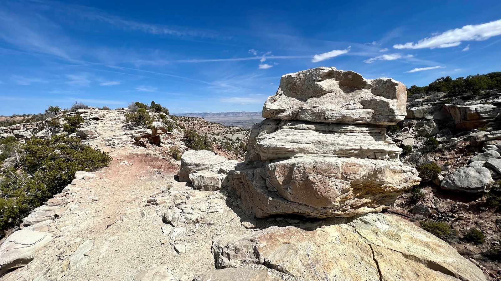
- Description: Highest trail in the park with far-reaching views west to Utah canyonlands, east to Grand Valley, and south to the San Juan Mountains. Follows up-and-down terrain of Black Ridge. Trail crosses into McInnis Canyons National Conservation Area (Bureau of Land Management lands).