Last updated: September 3, 2025
Place
Big Bone Lick State Historic Site, Kentucky
NPS
Quick Facts
Location:
3380 Beaver Rd, Union, KY 41091
Significance:
Meriwether Lewis stopped here in 1803 to collect fossils for President Thomas Jefferson. William Clark returned here in 1807 to do the same.
Designation:
Lewis and Clark National Historic Trail, National Natural Landmark, National Register of Historic Places
MANAGED BY:
Amenities
18 listed
Benches/Seating, Electrical Hookup - Boat/RV, Gifts/Souvenirs/Books, Groceries/Convenience Items, Historical/Interpretive Information/Exhibits, Parking - Auto, Parking - Bus/RV, Picnic Table, Playground, Restroom, Restroom - Accessible, Showers, Swimming Pool, Tent Campsites, Trailhead, Trash/Litter Receptacles, Water - Hookup - Boat/RV, Wheelchair Accessible
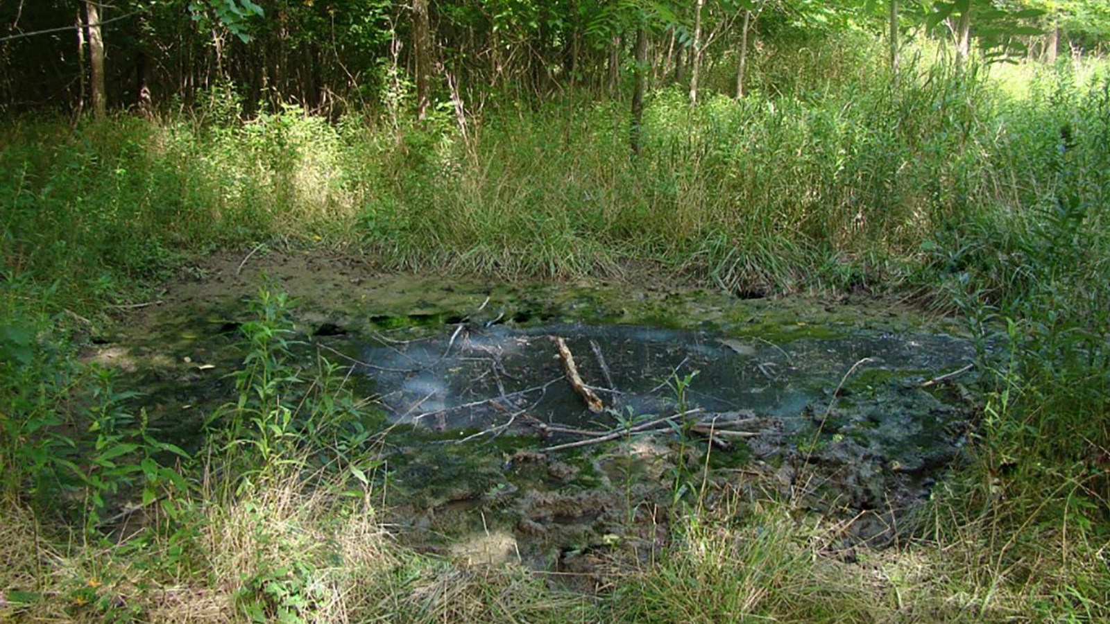
What’s a lick, and what do big bones have to do with it?
A “lick” is a term for a natural occurrence of salt. They usually appear around sulfur springs, which are places where water and minerals bubble out of the ground. It often smells like rotten eggs.
People call these places “licks” because animals like to lick the salty deposits.
The “big bone” part of its name came from huge bones in this bog. Indigenous oral tradition states that the bones were from the white buffalo, who died when they drank the salty water.
Western scientists theorized that animals—including mammoths and mastodons—who came for a salty treat got trapped in the marshy areas around the springs. This site was influential in the American development of paleontology and theories of animal extinction
Thomas Jefferson knew about this place and asked Meriwether Lewis to stop and collect some fossils and send them back.
Someone was already running the place as a tourist destination, so, Lewis had no trouble finding it. “Mr. David Ross of Virginia” decided before Lewis arrived that he did not want anyone taking anything from the lick anymore, probably because people had quickly taken most of the biggest fossils.
Lewis convinced a fellow collector, Dr. William Goforth of Cincinnati, to send specimens already excavated to Jefferson. William Clark returned to the site four years later to retrieve more fossils.
These were animal bones, not human remains. Still, was it okay for Lewis and Clark to take these fossils?
About this article: This article is part of a series called “Pivotal Places: Stories from the Lewis and Clark National Historic Trail.”
Big Bone Lick is a High Potential Historic Site (HPHS) of the Lewis and Clark National Historic Trail. Here is the text from the HPHS report:
President Thomas Jefferson ordered Lewis and Clark to record all fauna on their expedition with emphasis on prehistoric animals, which he believed may still exist in the west. In Cincinnati Lewis conferred with Dr. William Goforth, who had collected fossils from Big Bone Lick in Kentucky. On October 4, 1803, several days after Lewis had sent the expedition downriver, he traveled overland to the site. However, the property owner ceased further removal of specimens from the land, so Goforth agreed to send items from his own collection to the president.
The history of Big Bone Lick reaches back into the Ice Age, when mammoths, mastodons, and other large herbivores visited the salt lick. The marshy land trapped some animals, who died and were preserved in the boggy soil. On order from President Jefferson in 1807, Clark led the first organized paleontological expedition in American history to Big Bone Lick. He gathered three hundred bones and teeth which were exhibited in the White House. Big Bone Lick became a state park on July 2, 1960, and named a National Natural Landmark in 2009.
Lewis and Clark NHT Visitor Centers and Museums
This map shows a range of features associated with the Lewis and Clark National Historic Trail, which commemorates the 1803-1806 Lewis and Clark Expedition. The trail spans a large portion of the North American continent, from the Ohio River in Pittsburgh, Pennsylvania, to the mouth of the Columbia River in Oregon and Washington. The trail is comprised of the historic route of the Lewis and Clark Expedition, an auto tour route, high potential historic sites (shown in black), visitor centers (shown in orange), and pivotal places (shown in green). These features can be selected on the map to reveal additional information. Also shown is a base map displaying state boundaries, cities, rivers, and highways. The map conveys how a significant area of the North American continent was traversed by the Lewis and Clark Expedition and indicates the many places where visitors can learn about their journey and experience the landscape through which they traveled.