Last updated: November 28, 2023
Place
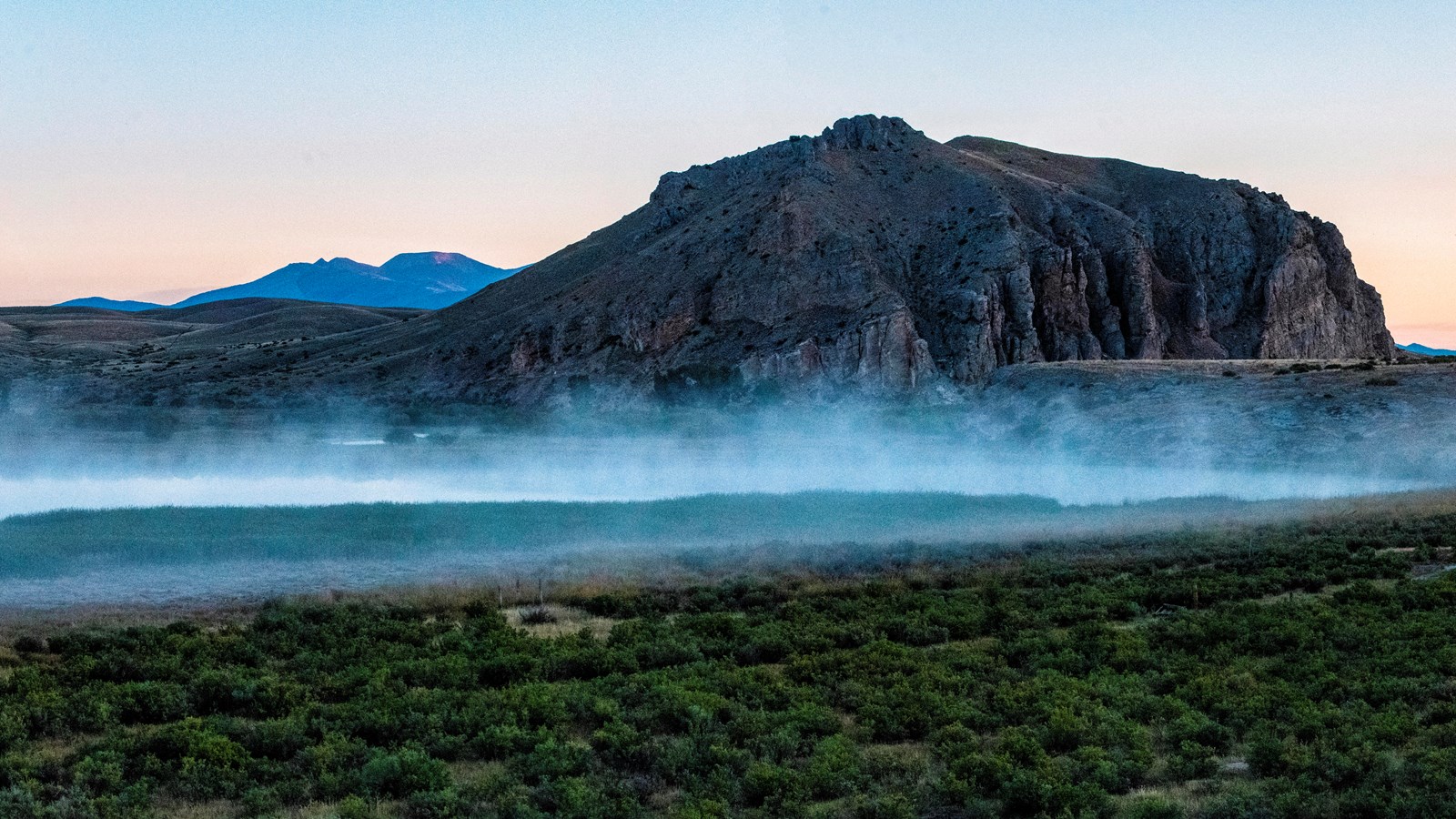
Beaverhead Rock, Montana

USDA Flickr Account
“the Indian woman recognized the point of a high plain to our right which she informed us was not very distant from the summer retreat of her nation on a river beyond the mountains which runs to the west. this hill she says her nation calls the beaver’s head from a conceived remblance of it’s figure to the head of that animal. she assures us that we shall either find her people on this river or on the river immediately west of it’s source; which from it’s present size cannot be very distant.” —Meriwether Lewis, August 8, 1806
Winding their boats through the narrow Beaverhead River, thick willow shrubs on either side, the Lewis and Clark Expedition met Sacagawea’s observation with a sigh of relief.
She would have told her husband, Toussaint Charbonneau, in Hidatsa that she recognized the rock, and he likely communicated it in French to one of the French speakers (perhaps George Drouillard), who then told Meriwether Lewis and William Clark that Sacagawea recognized this place. It was near the home of Shoshone people, where she had lived until five years before.
The seasoned travelers could see the mountains not too far away. They would need horses, which Shoshone people had in abundance, to carry their equipment and supplies over the mountains.
Sacagawea’s relationship with her Shoshone relatives was critical to the party being able to trade for these valuable animals. Without her, there was less of a chance that anyone would spare a horse for these strangers. They would have had to leave most of equipment, from clothes to items of value that they could trade with Indigenous people on the Columbia River.
They knew how important Sacagawea was. When she saw this rock, everyone might have felt a sense of relief—not least Sacagawea, who would soon reunite with her Shoshone relatives.
This article is part of a series called “Pivotal Places: Stories from the Lewis and Clark National Historic Trail.”
Lewis and Clark NHT Visitor Centers and Museums
This map shows a range of features associated with the Lewis and Clark National Historic Trail, which commemorates the 1803-1806 Lewis and Clark Expedition. The trail spans a large portion of the North American continent, from the Ohio River in Pittsburgh, Pennsylvania, to the mouth of the Columbia River in Oregon and Washington. The trail is comprised of the historic route of the Lewis and Clark Expedition, an auto tour route, high potential historic sites (shown in black), visitor centers (shown in orange), and pivotal places (shown in green). These features can be selected on the map to reveal additional information. Also shown is a base map displaying state boundaries, cities, rivers, and highways. The map conveys how a significant area of the North American continent was traversed by the Lewis and Clark Expedition and indicates the many places where visitors can learn about their journey and experience the landscape through which they traveled.
