Last updated: March 30, 2026
Place
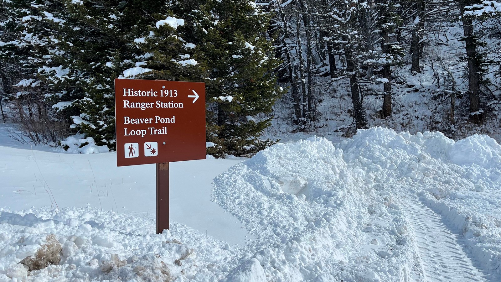
Beaver Pond Loop Trailhead
NPS Photo
Quick Facts
Location:
Glacier National Park
Amenities
7 listed
Benches/Seating, Cellular Signal, Information Kiosk/Bulletin Board, Parking - Auto, Parking - Bus/RV, Toilet - Vault/Composting, Trailhead
In the summer, Beaver Pond Loop is a pleasant, relatively flat trail for hikers. In the winter, this route offers skiing and snowshoeing through aspen, meadows, and mixed conifer stands in the rolling hills east of St. Mary Lake. The Red Eagle Trail also starts from this trailhead.
Beaver Pond Loop
Distance: 3.3 mi (5.3 km), loop
Elevation gain: 418 ft (127 m)
Elevation loss: 395 ft (120 m)
Trailhead: Near the 1913 Ranger Station, 0.2 miles (0.3 kilometers) east of the St. Mary Entrance
Red Eagle Lake
Distance: 8.1 mi (13.0 km), one way
Elevation gain: 1,004 ft (306 m)
Elevation loss: 800 ft (244 m)
Trailhead: Near the 1913 Ranger Station, 0.2 miles (0.3 kilometers) east of the St. Mary Entrance
While in Glacier National Park, please maintain extra awareness around water, steep dropoffs, and wildlife. You are responsible for your own safety.