Last updated: May 24, 2024
Place
Beacon Street Widening

Olmsted Archives, Job #01172, Brookline, MA
Quick Facts
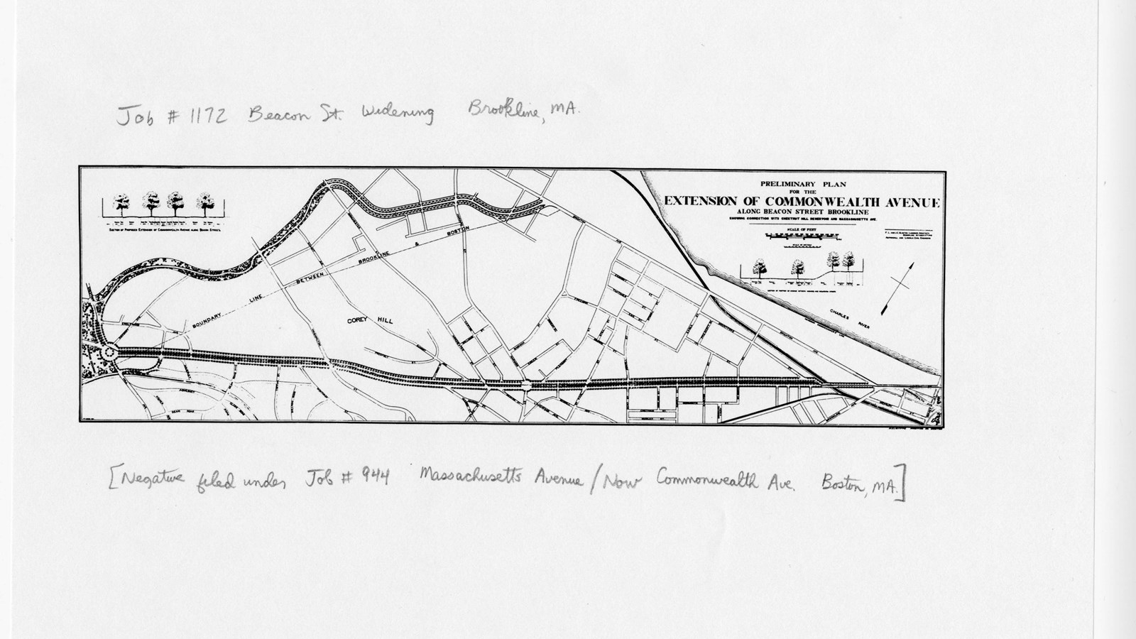
Between Audubon and Cleveland Circle, the Brookline section of Beacon Street runs, designed by Frederick Law Olmsted in the mid-1880s as a centerpiece for the urban development of the town. Olmsted’s design, which remains largely intact today, included a landscaped median for streetcar tracks, broad sidewalks and allées of trees.
Of all of Olmsted’s early plans, “the Great Beacon Street Widening” was perhaps the one that most radically changed Brookline for the better. In 1886, Brookline Park Commissioners asked Olmsted to draw plans for widening Beacon Street to a two-hundred-foot avenue.
As the fashionable Back Bay residential district expanded, widening Beacon Street was a logical extension. Olmsted was influenced by contemporary city planning in France; like the boulevards in Paris, Beacon Street was both the principal way to travel the district, and an avenue for pleasure driving, riding, cycling, and walking.
Source: "The Widening of Beacon Street," Brookline Historical Society
For more information and primary resources, please visit:
Olmsted Research Guide Online
Olmsted Archives on Flickr
