Last updated: February 18, 2025
Place
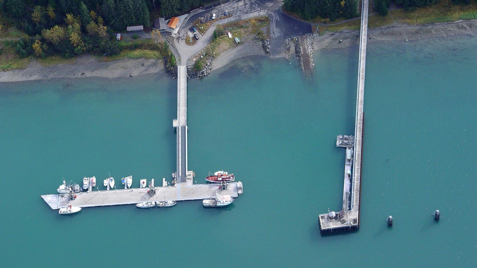
Bartlett Cove Public Use Dock

NPS Photo
Boat Ramp, Canoe/Kayak/Small Boat Launch, Dock/Pier, Fuel (Diesel), Fuel (Unleaded), Information Kiosk/Bulletin Board, Parking - Auto, Parking - Boat Trailer, Recycling, Scenic View/Photo Spot, Sea Plane Launch, Sewage Dump Station - Boat/RV, Trash/Litter Receptacles, Water - Non-Potable
The Bartlett Cove Public Use Dock is the Main entry and launch point for vessels. Sea otters and river otters can often be spotted diving into the cool, green waters in search of urchins and fish. Sea star and anemones cluster along the pilings and can be seen during low tide. On a clear day, an observer can count peaks in the both the Beartrack Mountains and Excursion Ridge. Mount Bertha, Mount Crillon, and Mount Fairweather can all be easily identified from the dock.
View a map of the dock showing no-anchor zones, slips available to the public, and more regulations.
Fuel Dock: The Bartlett Cove fuel dock is managed and operated by the Glacier Bay Lodge in Bartlett Cove. For fuel services, contact the Glacier Bay Lodge upon your arrival at the fuel dock on VHF channel 16, or at 697-4000, from May to September. An attendant will meet you within 15 minutes. Fuel is not available in the off season.
Please note: There is no shore access from the fuel dock, and the dock may not be used for loading or off-loading freight or passengers. This dock is only to be used for fueling and waste pumpout.
