Last updated: November 1, 2021
Place
Baker Bay
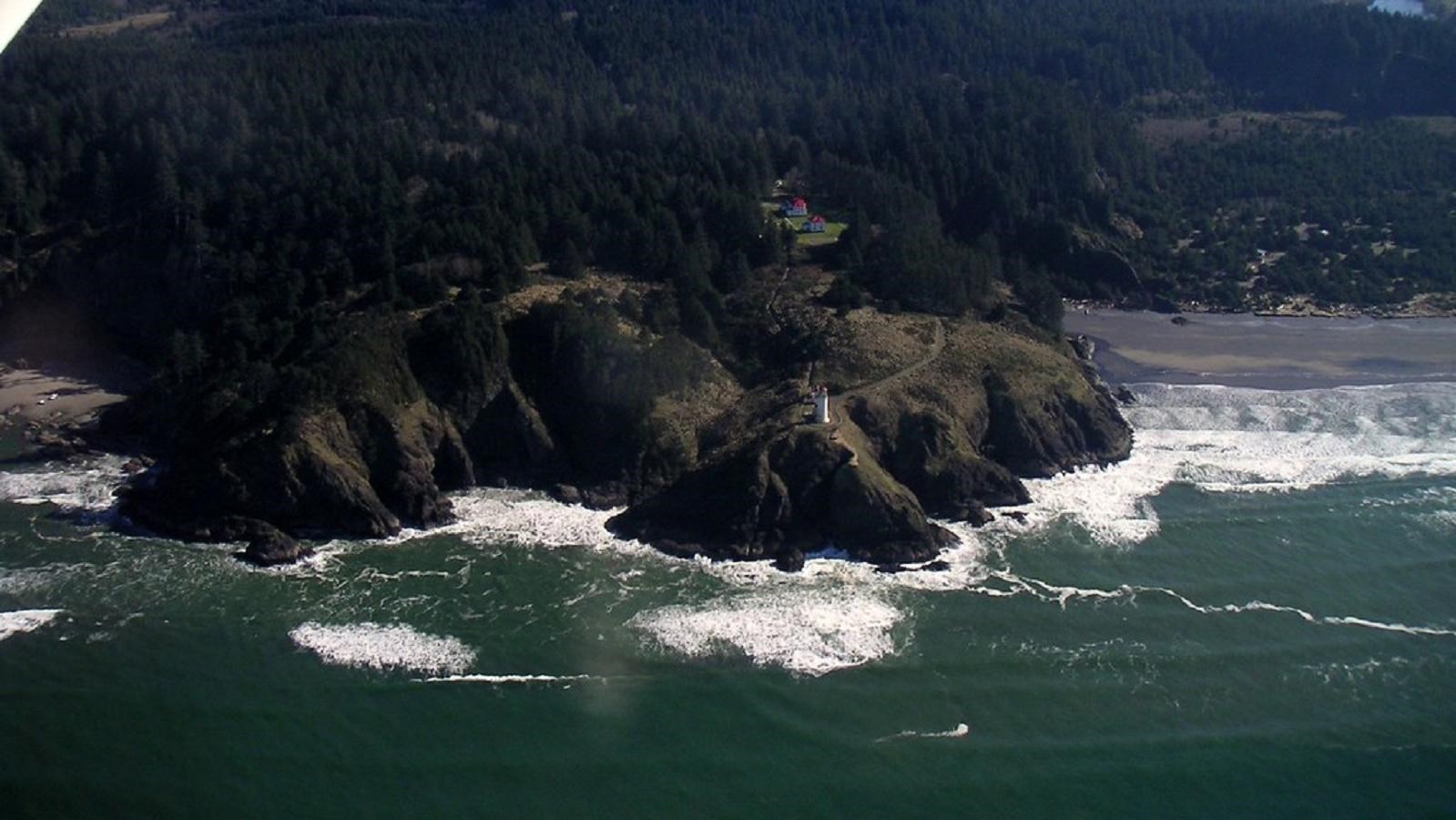
"North Head Lighthouse and Baker Bay" by alex1derr is licensed under CC BY-NC-SA 2.0
Quick Facts
Location:
Washington
Lewis and Clark NHT Visitor Centers and Museums
This map shows a range of features associated with the Lewis and Clark National Historic Trail, which commemorates the 1803-1806 Lewis and Clark Expedition. The trail spans a large portion of the North American continent, from the Ohio River in Pittsburgh, Pennsylvania, to the mouth of the Columbia River in Oregon and Washington. The trail is comprised of the historic route of the Lewis and Clark Expedition, an auto tour route, high potential historic sites (shown in black), visitor centers (shown in orange), and pivotal places (shown in green). These features can be selected on the map to reveal additional information. Also shown is a base map displaying state boundaries, cities, rivers, and highways. The map conveys how a significant area of the North American continent was traversed by the Lewis and Clark Expedition and indicates the many places where visitors can learn about their journey and experience the landscape through which they traveled.
Years later, on November 15, 1805, Baker Bay, a popular spot for ships to shelter, would receive a new name. Lewis and Clark had just rounded “Point Distress” and established Station Camp on the sandy shore of the bay. They chose to call it Haley’s Bay in honor of a European trader that the local natives said to be their favorite. Clark mentions this in his journal, saying:
Today, visitors can access or view Baker Bay from a variety of locations. The town of Ilwaco, Washington, for example, is located inside the bay, as are Chinook Point and Cape Disappointment State Park.“This Bay we call Haleys bay from a favourate Trader with the Indians which they Say comes into this Bay and trades with them.”