Last updated: September 5, 2023
Place
Bad River Encounter

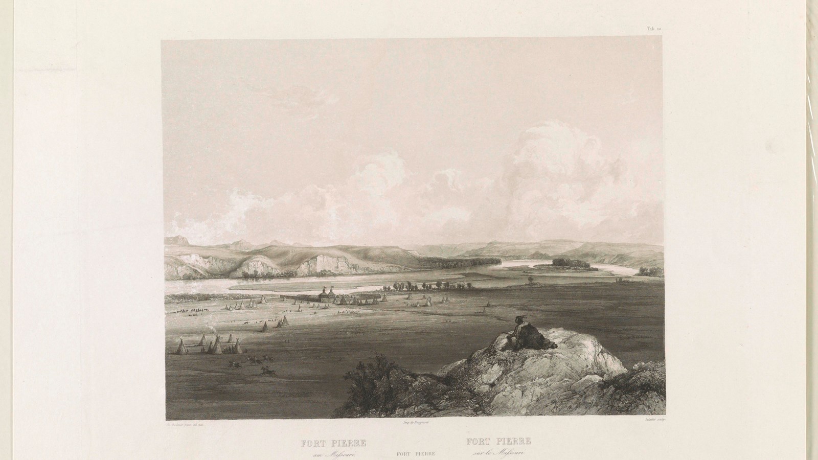
Charles Bodmer, Library of Congress
Boat Ramp, Electrical Hookup - Boat/RV, Electrical Outlet/Cell Phone Charging, Historical/Interpretive Information/Exhibits, Information Kiosk/Bulletin Board, Parking - Auto, Parking - Bus/RV, Picnic Shelter/Pavilion, Picnic Table, Playground, Restroom, Sewer Hookups - Boat/RV, Water - Hookup - Boat/RV
Near the end of September 1804, several Lakota individuals spotted one large and two small boats traveling up the Missouri River. Inside the boats, they saw a group of armed White men and what appeared to be trade goods. Lakota people were accustomed to seeing White men passing through to trade—many spoke French, others spoke Spanish or English. These visitors appeared to have more weapons than some of the other traders, though. The Lakota lookouts lit a fire to alert people in nearby villages of the foreign presence.
The men in the boat asked to hold a council with Lakota leaders. They constructed an awning on a sandbar in the river.
Lakota leaders—Black Buffalo, Partisan, and Buffalo Medicine—arrived around noon on September 25. They exchanged gifts of food with the visitors, and the White visitors handed out medals.
Their interpreter, Pierre Cruzatte, did not speak the Lakota language well, and the speech was cut short.
Everyone returned to shore, but words were exchanged that grew heated.
Over the next few days, tensions between the Lakota people on the shore and the White visitors in the river continued. Clark and Lewis mistrusted their Lakota hosts, and the feeling appeared mutual.
Who were these visitors? Why were they so quick to anger? And would they respect the careful diplomatic balance that Lakota people had attained with the French- and Spanish-speakers who had traveled up the river before them?
About this article: This article is part of series called “Pivotal Places: Stories from the Lewis and Clark National Historic Trail.”
Lewis and Clark NHT Visitor Centers and Museums
This map shows a range of features associated with the Lewis and Clark National Historic Trail, which commemorates the 1803-1806 Lewis and Clark Expedition. The trail spans a large portion of the North American continent, from the Ohio River in Pittsburgh, Pennsylvania, to the mouth of the Columbia River in Oregon and Washington. The trail is comprised of the historic route of the Lewis and Clark Expedition, an auto tour route, high potential historic sites (shown in black), visitor centers (shown in orange), and pivotal places (shown in green). These features can be selected on the map to reveal additional information. Also shown is a base map displaying state boundaries, cities, rivers, and highways. The map conveys how a significant area of the North American continent was traversed by the Lewis and Clark Expedition and indicates the many places where visitors can learn about their journey and experience the landscape through which they traveled.
