Last updated: November 4, 2024
Place
Avalanche Awareness at Lassen
NPS photo
Quick Facts
OPEN TO PUBLIC:
No
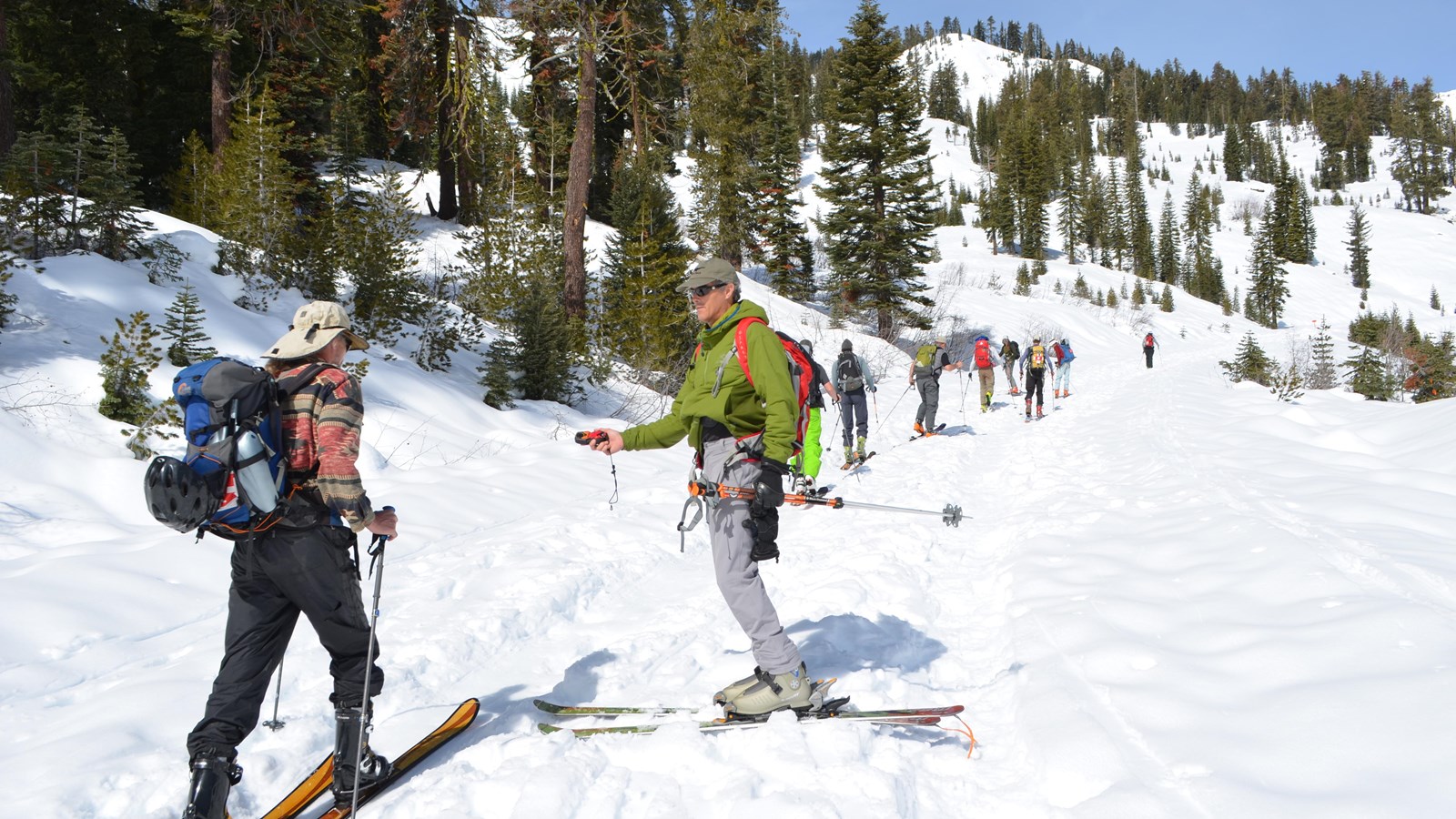
Snow travel at Lassen Volcanic National Park requires entering avalanche terrain. Each year, avalanches claim more than 150 lives worldwide. Knowledge, information, and equipment are key to preventing and surviving avalanche accidents. Before you enter the winter wilderness, ensure that you have a solid understanding of avalanche awareness and carry avalanche/rescue equipment.
Are You Prepared?
Make a Plan
Travel with a partner—know your abilities and their’s. Plan a route avoiding hazard areas and include alternatives. Tell someone where you are going and when you will return.
Know the Snow
Use a basic pole test or more involved tests such as a snow pit, Rutschblock, or extended column to evaluate the snow as you travel through avalanche terrain throughout the day.
Bring Your Equipment
- Snow Shovel to test snow conditions, dig out victims, make snow shelters.
- Probe to find buried avalanche victims.
- Avalanche Transceiver (Beacon) emits a pulsed radio signal to help locate buried avalanche victims.
Check the Forecast
Lassen Volcanic National Park does not provide an avalanche forecast for the park. Forecasts from the following nearby areas may provide some information on regional conditions, but may not reflect conditions in the park.
-
Mt. Shasta Avalanche Center (530-926-9613)
-
Sierra Avalanche Center (Lake Tahoe area; 530-587-3558)
Recognize Red Flags
Recent Avalanches
If there are new avalanches, more are possible.
Signs of Unstable Snow as You Travel
Listen for warning signs: cracking or collapsing snowpack, “whumpfing” sounds, and hollow drum-like sounds on hard snow.
Heavy Snowfall or Rain in the Past 24 Hours
Significant snowfall or rain can make the snowpack unstable. Avalanches are often triggered the first clear day after a storm. Because it is sunny does not mean it is safe.
Windblown Snow
Windblown snow loads leeward slopes, even when it is not snowing out.
Significant Warming or Rapidly Increasing Temperatures
Warm temperatures can cause the snow to creep downhill and become less stable.
Persistent Weak Layers
When these are buried in the snowpack, you may trigger an avalanche weeks after a storm or when no other red flags are present.
Identify Avalanche Terrain
Slope Angle
Avalanches are possible on any slope steeper than 30 degrees and as steep as 50 degrees. They occur most frequently on slopes 35 to 45 degrees. Avalanches may also occur on slopes of less than 30 degrees that are exposed to steeper terrain above.
Aspect
Which way does the slop face in relation to sun or wind? Cornices indicate prevailing wind direction and may be a sign the slope is being windloaded. Does the slope face the sun or is it in the shade?
Common Trigger Points
Avalanches may be triggered from flatter areas in the runout zone or along ridge crests. Watch for wind deposited snow; breakover or mid-slope steepening; areas ner rock outcrops; or shallow areas in the snowpack.
Terrain Traps
Watch for anything that increases the consequences of being caught in a slide, like cliffs, trees, and rocks. A flat transition or a gully means a deeper burial.
Frequent Avalanche Terrain
-
Lassen Volcanic National Park Highway: Hazardous, steep side hills with icy conditions and numerous avalanche paths.Diamond Peak Area: History of avalanches; avoid it by using the Ranger Cutoff north of Windy Point.
-
Ridge Lakes Area: History of avalanches in the area south of Ridge Lakes. There are steep windloaded slopes on the north side and steep, avalanche-prone slopes on all aspects of Mt. Diller.
-
Lassen Peak: Steep slopes with various aspects. The safest way up is on the summer trail through the forested section, then on the southeast ridge to the summit.
-
Brokeoff Mountain: Numerous avalanche paths and overhanging cornices on the summit.
-
Loomis Peak: Avalanche cutes sluff off of Loomis Peak at the upper end of the Manzanita Creek Trail.