Last updated: November 1, 2021
Place
Astoria Riverwalk
"File:Astoria Riverwalk-1.jpg" by Visitor7 is licensed under CC BY-SA 3.0
Quick Facts
Location:
Astoria, OR
MANAGED BY:
Amenities
8 listed
Benches/Seating, Cellular Signal, Historical/Interpretive Information/Exhibits, Parking - Auto, Scenic View/Photo Spot, Trailhead, Trash/Litter Receptacles, Wheelchair Accessible
Lewis and Clark NHT Visitor Centers and Museums
This map shows a range of features associated with the Lewis and Clark National Historic Trail, which commemorates the 1803-1806 Lewis and Clark Expedition. The trail spans a large portion of the North American continent, from the Ohio River in Pittsburgh, Pennsylvania, to the mouth of the Columbia River in Oregon and Washington. The trail is comprised of the historic route of the Lewis and Clark Expedition, an auto tour route, high potential historic sites (shown in black), visitor centers (shown in orange), and pivotal places (shown in green). These features can be selected on the map to reveal additional information. Also shown is a base map displaying state boundaries, cities, rivers, and highways. The map conveys how a significant area of the North American continent was traversed by the Lewis and Clark Expedition and indicates the many places where visitors can learn about their journey and experience the landscape through which they traveled.
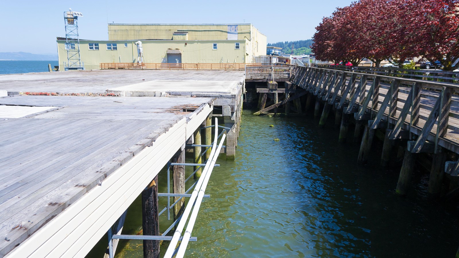
Tongue Point, visible near the end of the trail near the lagoons, is significant to the Lewis & Clark Expedition. The men camped here on March 23, 1806, after wintering at Fort Clatsop. An interpretive panel is installed on the Astoria Riverwalk that commemorates their stay. A bench commemorating Keith Hay, author of The Lewis & Clark Columbia River Water Trail guidebook, is situated next to the panel. Additional interpretive exhibits can be found along the trail, providing historical information.
The trailhead can be accessed from Lagoon Road. The gravel parking lot is well-marked, and the trail itself is wheelchair accessible, being either paved with asphalt or comprised of a wooden boardwalk, depending on the section one happens to be on. Those who don’t want to make the return trip on foot can catch the Astoria Trolley at the East Mooring Basin back to the trailhead for a small $1 per person fare.
For more information on the trail, visit TrailLink’s website at Astoria Riverwalk. For information on what Astoria has to offer, visit the city's website at Astoria Oregon.