Last updated: April 6, 2021
Place
Aniakchak Caldera
NPS Photo
Quick Facts
Location:
Aniakchak National Monument, Alaska
Amenities
1 listed
Scenic View/Photo Spot
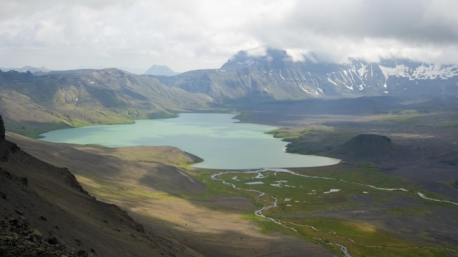
Aniakchak was a towering 7,000 foot tall volcano until its summit collapsed during a massive eruption roughly 3,500 years ago. A more than six-mile (10 km) wide, 2,500 foot (770 m) deep caldera was left in the eruption’s wake. The elevation of the caldera rim varies from 4,400 ft (1,341 m) to 2,000 ft (610 m). Subsequent eruptions created cinder cones, lava flows, and explosion pits that dot the caldera floor.
Aniakchak Caldera is a raw and rugged volcanic feature located in a landscape that is, because of its remoteness, little affected by human occupancy. Plant and animal communities are in tune with the natural phenomena that control their habitat. Volcanic activity has subsided since the last eruption in 1931, but the geologic processes that follow such activity continue to weather, erode, and redistribute the volcanic materials.
The caldera also contains Surprise Lake, a warm springs fed lake. The lake is the source of the Aniakchak River, which flows through a breach in the caldera rim to the Pacific Ocean.