Last updated: November 7, 2021
Place
Anderson Bay

Benches/Seating, Dock/Pier, Historical/Interpretive Information/Exhibits, Picnic Table, Toilet - Vault/Composting, Trailhead
Voyageurs National Park is situated on the southern tip of what is known as the Canadian Shield, a gigantic dome of volcanic bedrock that forms the heart of the North American Continent. This bedrock dates from the birth of North America. Some 2.8 billion years ago, massive volcanoes erupted through this area and deposited layer after layer of ash and lava, building up the island landmasses. These island arc volcanoes collided forming still larger landmasses. Subsequent uplifting, folding, superheating along with tremendous pressure created igneous and metamorphic rock to form the present day granite and schist of the Kabetogama Peninsula. Eons of erosion then wore down these volcanic mountain ranges to the landscape you see today.
Visiting Anderson Bay
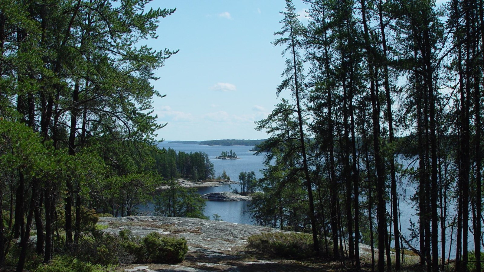
Anderson Bay exemplifies the outstanding scenery for which Voyageurs was established. The exposed white granite cliffs of Anderson Bay rise 80 feet from the water and provide spectacular views of the bay and Rainy Lake. It is one of the most photographed areas of the park. There are picnic tables, fire ring, and privy at this Visitor Destination and Day Use site. Visitors can also hike the 1.75-mile loop trail to see the bluffs from the top. In addition, this is the northern trailhead for the 9.5 mile, one way, Cruiser Lake Trail system that crosses the Kabetogama Peninsula to connect with Lost Bay on Kabetogama Lake.
