Last updated: June 18, 2021
Place
Ajo Mountain Drive Stop 14

NPS Photo
Quick Facts
Location:
Mile 12.7 [km 20.4] along the Ajo Mountain Drive
Stop 14
Traveling in the Footsteps of History
In the 1680s, Father Eusebio Francisco Kino arrived with orders to establish missions throughout the region. He worked with the O’odham people, teaching them about cattle grazing and learning human migratory routes in return. Padre Kino’s expedition mapped the region, recording invaluable water sources and ancient pathways. The expedition quickly adapted to the region, learning that trails must be near water, among high mountains and through passes. Without this knowledge, Kino’s expedition and the many people that have come since would surely have perished.
Many of the maps that Padre Kino created and the names he placed on them are still in use. Looking at a map of the monument today, one can immerse oneself in the history and geology of the region. Bull Pasture gets its name from the monuments’ ranching era; Twin Peaks is named for its double-peaked appearance; Pinkley Peak commemorates Frank Pinkley, Superintendent of Southwestern National Monuments 1923 – 1940. Behind each name is a story.
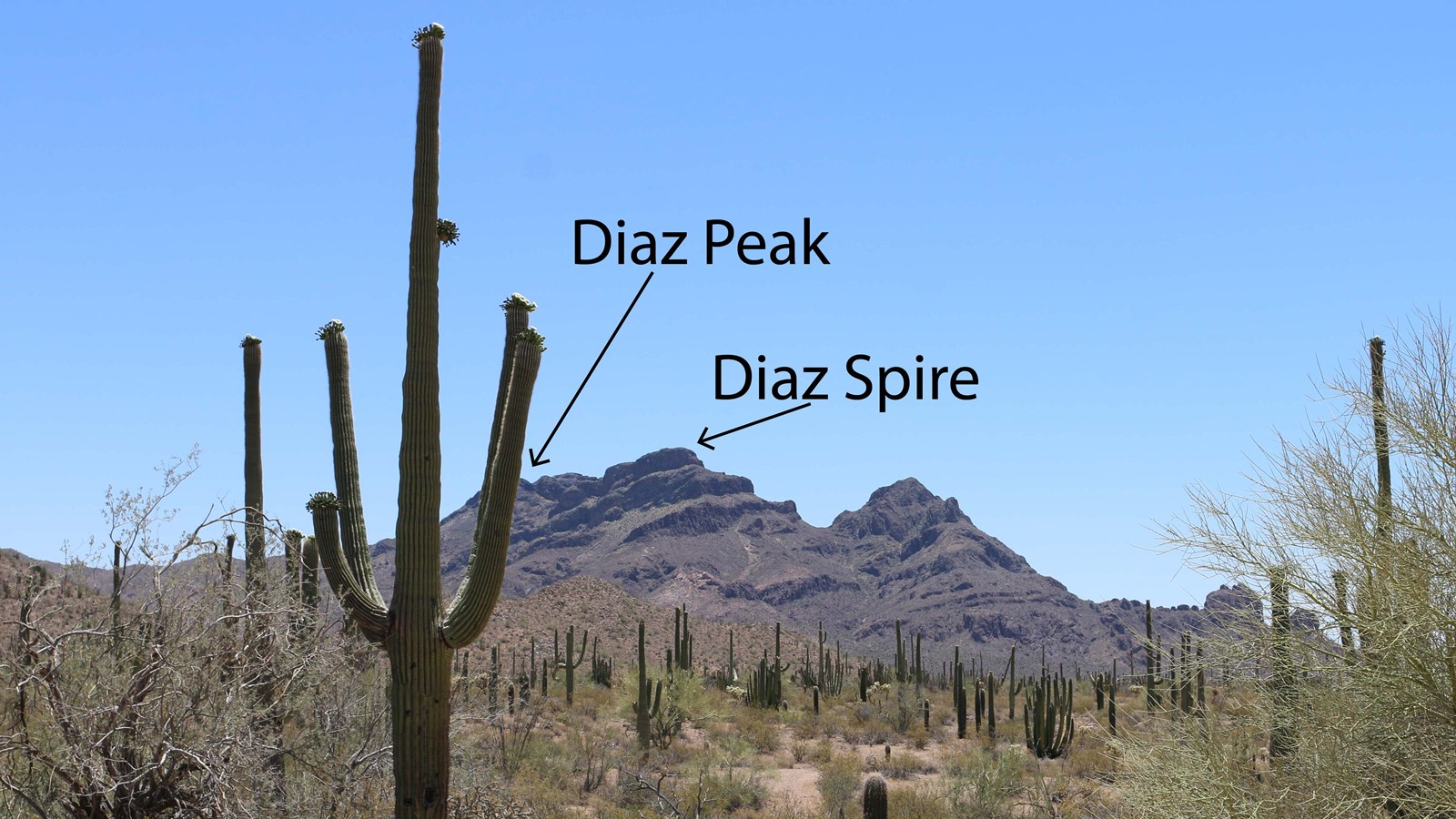
The Diaz Mountains are named for Captain Melchior Diaz, leader of a 15 member group in the Coronado expedition 1539-1542. In January 1541, when the expedition was close to here, Diaz suffered a freak accident and was mortally wounded. Diaz’s men had no choice but to abandon any further explorations. During his fourteen months and over 3500 miles of reconnaissance on behalf of the Coronado expedition, Melchior Diaz left a valuable legacy. The information he gathered on the native peoples he encountered offers the modern reader a glimpse into a way of life prior to European contact.
